File:Shoyok and Nubra Valley map.jpg
Jump to navigation
Jump to search

Size of this preview: 800 × 600 pixels. Other resolutions: 320 × 240 pixels | 640 × 480 pixels | 1,024 × 768 pixels.
Original file (1,024 × 768 pixels, file size: 585 KB, MIME type: image/jpeg)
File history
Click on a date/time to view the file as it appeared at that time.
| Date/Time | Thumbnail | Dimensions | User | Comment | |
|---|---|---|---|---|---|
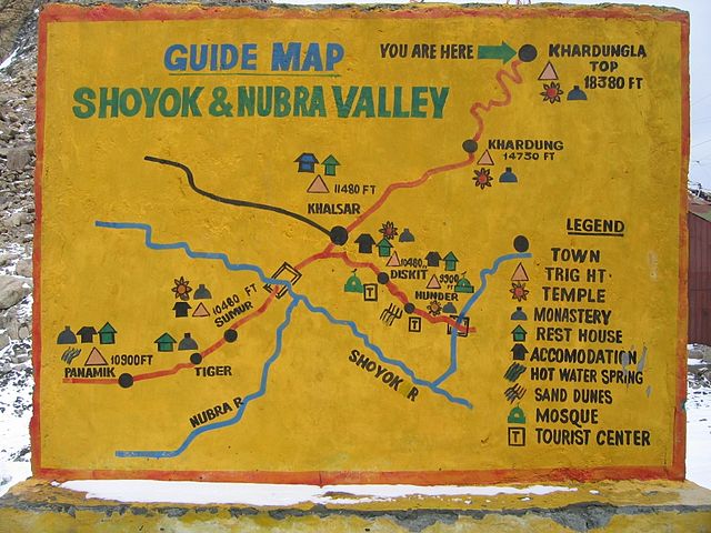
| current | 17:32, 31 October 2009 | | 1,024 × 768 (585 KB) | commons>E2v | {{Information |Description={{en|1=Shoyok and Nubra Valley handpainted map from the Khardung La point of view. This is a wall standing on the top of Khardung La and mapping the way to Khalsar.}} |Source={{own}} |Author=E2v |Date=2004-07-12 |Pe |
File usage
There are no pages that use this file.