File:ScotlandHighlands.png
Jump to navigation
Jump to search
No higher resolution available.
ScotlandHighlands.png (200 × 230 pixels, file size: 4 KB, MIME type: image/png)
File history
Click on a date/time to view the file as it appeared at that time.
| Date/Time | Thumbnail | Dimensions | User | Comment | |
|---|---|---|---|---|---|
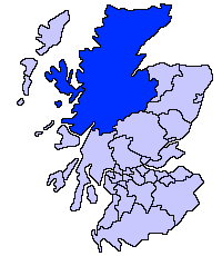
| current | 21:36, 17 May 2005 | | 200 × 230 (4 KB) | commons>Voyager | Highland unitary council Slightly edited version of a map drawn by Morwen {{GFDL}} Category:Maps of Scottish unitary councils |
File usage
There are no pages that use this file.