File:Satyrium titus range map.JPG
Jump to navigation
Jump to search
No higher resolution available.
Satyrium_titus_range_map.JPG (492 × 571 pixels, file size: 25 KB, MIME type: image/jpeg)
File history
Click on a date/time to view the file as it appeared at that time.
| Date/Time | Thumbnail | Dimensions | User | Comment | |
|---|---|---|---|---|---|
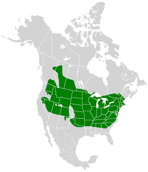
| current | 18:31, 18 November 2008 | | 492 × 571 (25 KB) | commons>Meganmccarty | {{Information |Description=A range map showing the distribution of the Coral Hairstreak, (''Satyrium titus'') |Source=*Image:North_America_second_level_political_division_2.svg |Date=2008-11-18 18:30 (UTC) |Author=*derivative work: ~~~ *[[:Image:Nor |
File usage
There are no pages that use this file.