File:Santa Isabel Island Topography.png
Jump to navigation
Jump to search

Size of this preview: 800 × 554 pixels. Other resolutions: 320 × 222 pixels | 640 × 443 pixels | 1,024 × 709 pixels | 1,280 × 886 pixels | 2,789 × 1,931 pixels.
Original file (2,789 × 1,931 pixels, file size: 1.37 MB, MIME type: image/png)
Summary
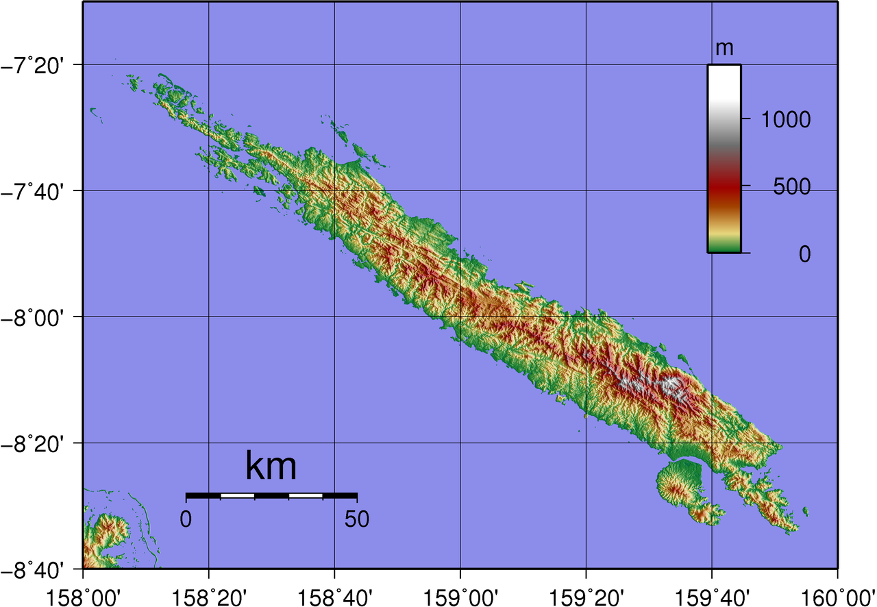
| Description | Topographical map of Santa Isabel in Solomon Islands. |
| Date | |
| Source | Created with GMT from publicly available SRTM data |
| Author | Sadalmelik |
Licensing
| I, the copyright holder of this work, release this work into the public domain. This applies worldwide. In some countries this may not be legally possible; if so: I grant anyone the right to use this work for any purpose, without any conditions, unless such conditions are required by law. |
File history
Click on a date/time to view the file as it appeared at that time.
| Date/Time | Thumbnail | Dimensions | User | Comment | |
|---|---|---|---|---|---|
| current | 11:42, 3 June 2007 | | 2,789 × 1,931 (1.37 MB) | commons>Sadalmelik | {{Information |Description=Topographical map of Santa Isabel in Solomon Islands. |Source=Created with GMT from publicly available SRTM data |Date=June 3, 2007 |Author= User:Sadalmelik }} Category:Maps of Solomon Islands |
File usage
There are no pages that use this file.