File:SantaIsabelmap.png
Jump to navigation
Jump to search
No higher resolution available.
SantaIsabelmap.png (495 × 487 pixels, file size: 12 KB, MIME type: image/png)
File history
Click on a date/time to view the file as it appeared at that time.
| Date/Time | Thumbnail | Dimensions | User | Comment | |
|---|---|---|---|---|---|
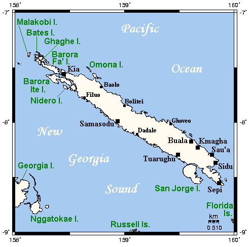
| current | 19:59, 3 March 2008 | | 495 × 487 (12 KB) | commons>Переход Артур | {{Information |Description={{en|Map of Santa Isabel and neighbouring islands in the Solomon Islands.}} {{ru|Карта острова Санта-Исабель в архипелаге Соломоновы острова и близлежащих остр� |
File usage
There are no pages that use this file.