File:Sandzak region map.png
Jump to navigation
Jump to search
Size of this preview: 628 × 600 pixels. Other resolutions: 251 × 240 pixels | 503 × 480 pixels | 974 × 930 pixels.
Original file (974 × 930 pixels, file size: 53 KB, MIME type: image/png)
File history
Click on a date/time to view the file as it appeared at that time.
| Date/Time | Thumbnail | Dimensions | User | Comment | |
|---|---|---|---|---|---|
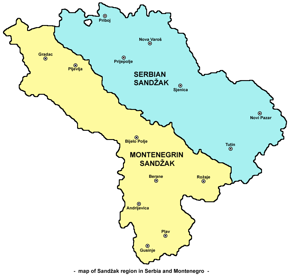
| current | 09:14, 3 October 2009 | | 974 × 930 (53 KB) | commons>PANONIAN | {{Information |Description={{en|1=Map of Sandžak region in Serbia and Montenegro. Note: This map show Sandžak region in its largest geographical extent. According to some other views, Montenegrin municipalities of Plav and Andrijevica might not belong t |
File usage
There are no pages that use this file.