File:Sanborn Fire Insurance Map from Nashua, Hillsborough County, New Hampshire, 1902, Plate 0001.jpg
Jump to navigation
Jump to search

Size of this preview: 505 × 599 pixels. Other resolutions: 202 × 240 pixels | 405 × 480 pixels | 647 × 768 pixels | 863 × 1,024 pixels | 1,727 × 2,048 pixels | 6,450 × 7,650 pixels.
Original file (6,450 × 7,650 pixels, file size: 4.32 MB, MIME type: image/jpeg)
File history
Click on a date/time to view the file as it appeared at that time.
| Date/Time | Thumbnail | Dimensions | User | Comment | |
|---|---|---|---|---|---|
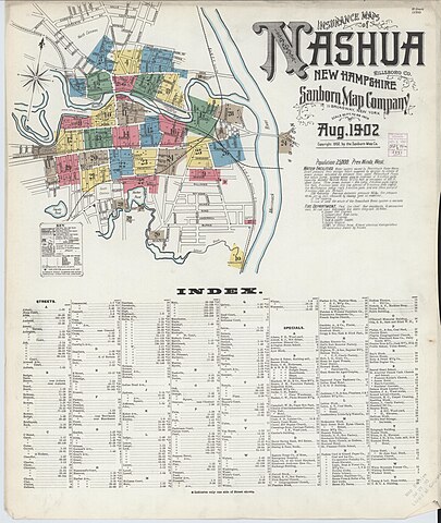
| current | 15:04, 29 December 2023 | | 6,450 × 7,650 (4.32 MB) | commons>Nowakki | == {{int:filedesc}} == {{Information |description=Sanborn Fire Insurance Map from Nashua, Hillsborough County, New Hampshire, 1902, Plate 0001 |date=1902 |source=https://tile.loc.gov/image-services/iiif/service:gmd:gmd374m:g3744m:g3744nm:g3744nm_g053631902:05363_1902-0001/full/pct:100/0/default.jpg |author={{Unknown|1=Author}} }} == {{int:license-header}} == {{PD-US-expired}} Category:Sanborn Fire Insurance Map from Nashua, Hillsborough County, New Hampshire, 1902 |
File usage
There are no pages that use this file.