File:Salpausselat-kartta.svg
Jump to navigation
Jump to search

Size of this PNG preview of this SVG file: 600 × 539 pixels. Other resolutions: 267 × 240 pixels | 534 × 480 pixels | 855 × 768 pixels | 1,140 × 1,024 pixels | 2,280 × 2,048 pixels.
Original file (SVG file, nominally 600 × 539 pixels, file size: 88 KB)
File history
Click on a date/time to view the file as it appeared at that time.
| Date/Time | Thumbnail | Dimensions | User | Comment | |
|---|---|---|---|---|---|
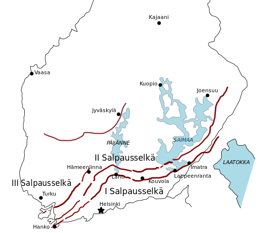
| current | 19:54, 10 April 2007 | | 600 × 539 (88 KB) | commons>Yartsa | {{Information |Description = {{en|A simple map of the Salpausselkä ridge system.}} {{fi|Yksinkertainen karttakuva Salpauselkien sijainnista.}} |Source = Own work |Date = 2007-04-07 |Author = Jari Laamanen |Permission = |other_versions |
File usage
There are no pages that use this file.