File:Salford UK local election 2012 map.svg
Jump to navigation
Jump to search

Size of this PNG preview of this SVG file: 630 × 599 pixels. Other resolutions: 252 × 240 pixels | 505 × 480 pixels | 807 × 768 pixels | 1,077 × 1,024 pixels | 2,153 × 2,048 pixels | 1,372 × 1,305 pixels.
Original file (SVG file, nominally 1,372 × 1,305 pixels, file size: 264 KB)
File history
Click on a date/time to view the file as it appeared at that time.
| Date/Time | Thumbnail | Dimensions | User | Comment | |
|---|---|---|---|---|---|
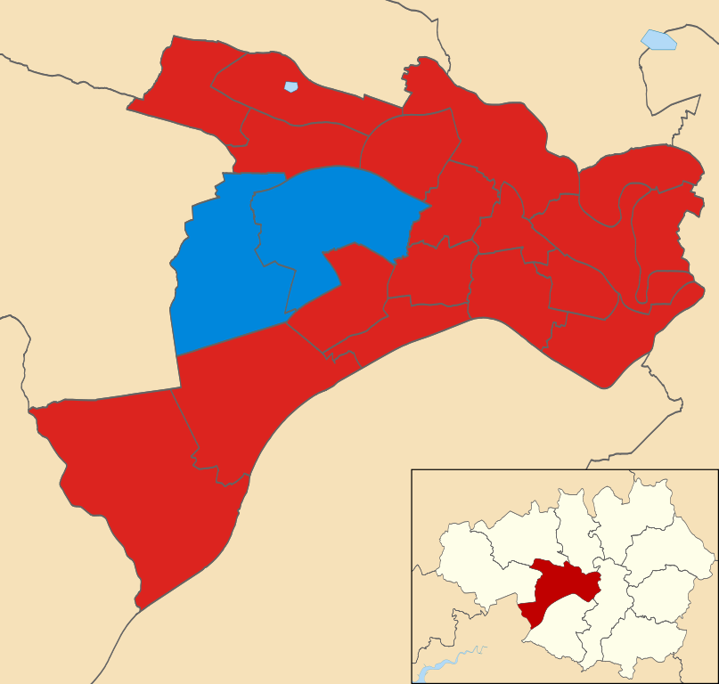
| current | 12:20, 17 June 2012 | | 1,372 × 1,305 (264 KB) | commons>Davewild | == {{int:filedesc}} == {{Information |Description=Map of Salford, Greater Manchester, UK showing the results of the 2012 local election. Colours: {{legend|#dc241f|Labour}} {{legend|#0087dc|Conservative}} |Source={{Derived from|Salford_UK_ward_map_2010... |
File usage
There are no pages that use this file.