File:Saint Adelphe 047.jpg
Jump to navigation
Jump to search

Size of this preview: 800 × 600 pixels. Other resolutions: 320 × 240 pixels | 640 × 480 pixels | 1,024 × 768 pixels | 1,280 × 960 pixels | 2,560 × 1,920 pixels | 4,032 × 3,024 pixels.
Original file (4,032 × 3,024 pixels, file size: 5.72 MB, MIME type: image/jpeg)
Summary
| Description |
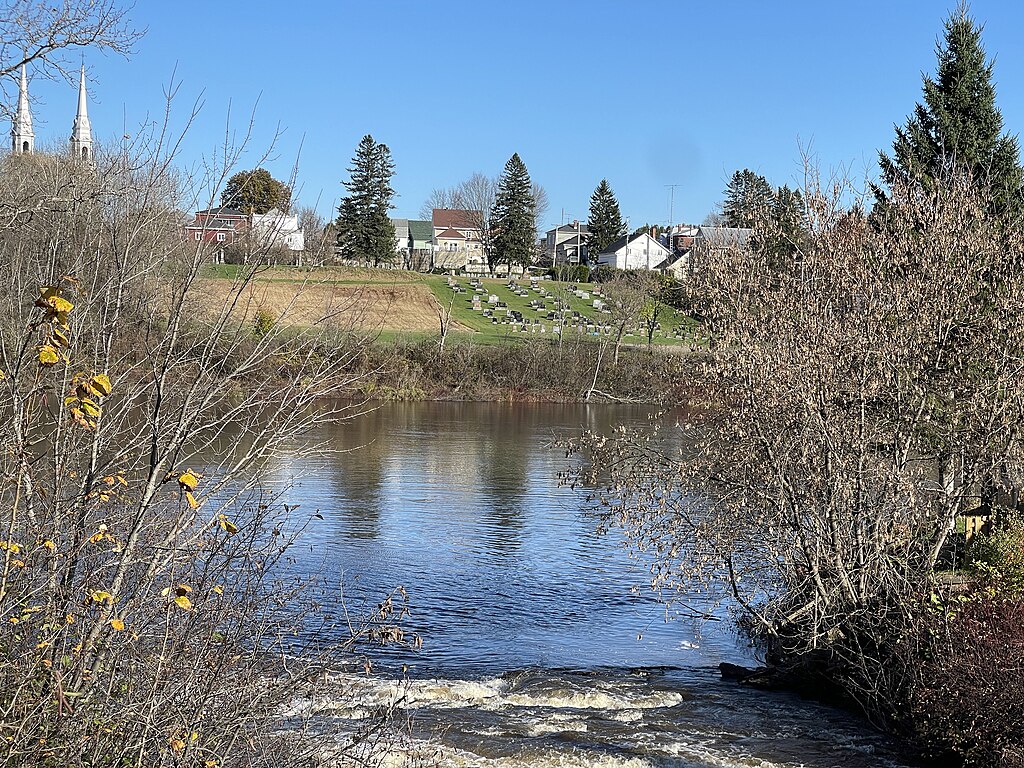
English: Mauricie, MRC Mékinac, Saint-Adelphe (Municipalité de paroisse), du pont P01548 à poutres en béton armé (1950), embouchure de la rivière Pierre-Paul, rivière Batiscan, flèches des clochers de l’église catholique, village, champ cultivé, cimetière Curé Adélard-Lamy, de la route 352, le dimanche 29 octobre 2023.
Français : Mauricie, MRC Mékinac, Saint-Adelphe (Municipalité de paroisse), du pont P01548 à poutres en béton armé (1950), embouchure de la rivière Pierre-Paul, rivière Batiscan, flèches des clochers de l’église catholique, village, champ cultivé, cimetière Curé Adélard-Lamy, de la route 352, le dimanche 29 octobre 2023. |
| Date | |
| Source | Own work |
| Author | Nichole Ouellette |
| Camera location | | View this and other nearby images on: OpenStreetMap |
|---|
- More infos/photos, same author: ouellette001.com/florelaurentienne.com
- Québec en photos – Saint-Adelphe Rivières et ruisseaux
- Québec en photos - Mauricie Cœur battant de Saint-Adelphe Mékinac
- De Saint-Prosper à Saint-Adelphe Le chemin du Rang Price
- About ouellette001.com
Licensing
I, the copyright holder of this work, hereby publish it under the following license:
This file is licensed under the Creative Commons Attribution 4.0 International license.
- You are free:
- to share – to copy, distribute and transmit the work
- to remix – to adapt the work
- Under the following conditions:
- attribution – You must give appropriate credit, provide a link to the license, and indicate if changes were made. You may do so in any reasonable manner, but not in any way that suggests the licensor endorses you or your use.
File history
Click on a date/time to view the file as it appeared at that time.
| Date/Time | Thumbnail | Dimensions | User | Comment | |
|---|---|---|---|---|---|
| current | 10:11, 9 December 2023 | | 4,032 × 3,024 (5.72 MB) | commons>Nichole Ouellette | Uploaded own work with UploadWizard |
File usage
There are no pages that use this file.