File:SAL map 1916.jpg
Jump to navigation
Jump to search

Size of this preview: 500 × 600 pixels. Other resolutions: 200 × 240 pixels | 400 × 480 pixels | 970 × 1,164 pixels.
Original file (970 × 1,164 pixels, file size: 478 KB, MIME type: image/jpeg)
File history
Click on a date/time to view the file as it appeared at that time.
| Date/Time | Thumbnail | Dimensions | User | Comment | |
|---|---|---|---|---|---|
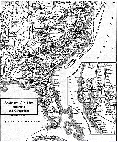
| current | 21:47, 30 May 2009 | | 970 × 1,164 (478 KB) | commons>Textorus | {{Information |Description={{en|1=1916 map of the Seaboard Air Line Railroad system, reprinted in the 1922 New World Atlas and Gazetteer}} |Source=New World Atlas and Gazetteer, 1922 |Author=No author listed |Date=1922 |Permission= |other_versions= }} <! |
File usage
There are no pages that use this file.