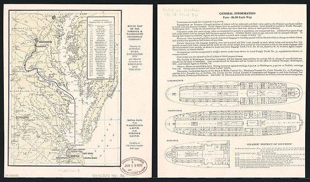
File:Route map of the Norfolk & Washington Steamboat Company - showing the Potomac River, Chesapeake Bay, and adjacent territory in Maryland and Virginia. LOC 89694335.jpg
Jump to navigation
Jump to search

Size of this preview: 800 × 471 pixels. Other resolutions: 320 × 189 pixels | 640 × 377 pixels | 1,024 × 603 pixels | 1,280 × 754 pixels | 2,560 × 1,508 pixels | 4,872 × 2,870 pixels.
Original file (4,872 × 2,870 pixels, file size: 2.16 MB, MIME type: image/jpeg)
File history
Click on a date/time to view the file as it appeared at that time.
| Date/Time | Thumbnail | Dimensions | User | Comment | |
|---|---|---|---|---|---|
| current | 16:07, 7 June 2018 | | 4,872 × 2,870 (2.16 MB) | commons>Fæ | LOC Maps https://www.loc.gov/item/89694335/ #7706 |
File usage
There are no pages that use this file.