File:Road map of the Western Cape.svg
Jump to navigation
Jump to search

Size of this PNG preview of this SVG file: 753 × 600 pixels. Other resolutions: 302 × 240 pixels | 603 × 480 pixels | 965 × 768 pixels | 1,280 × 1,019 pixels | 2,560 × 2,038 pixels | 849 × 676 pixels.
Original file (SVG file, nominally 849 × 676 pixels, file size: 634 KB)
| Description |
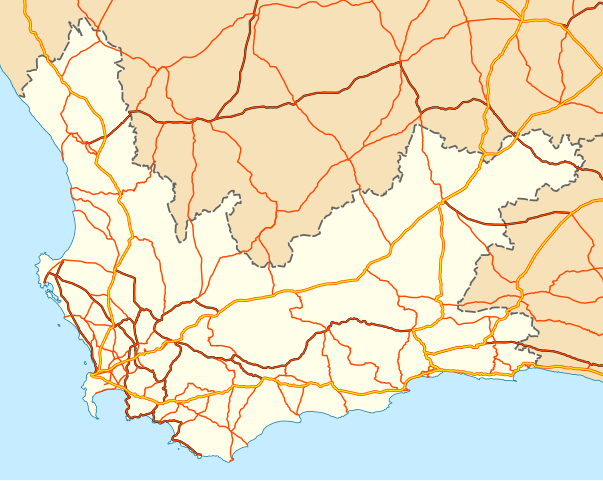
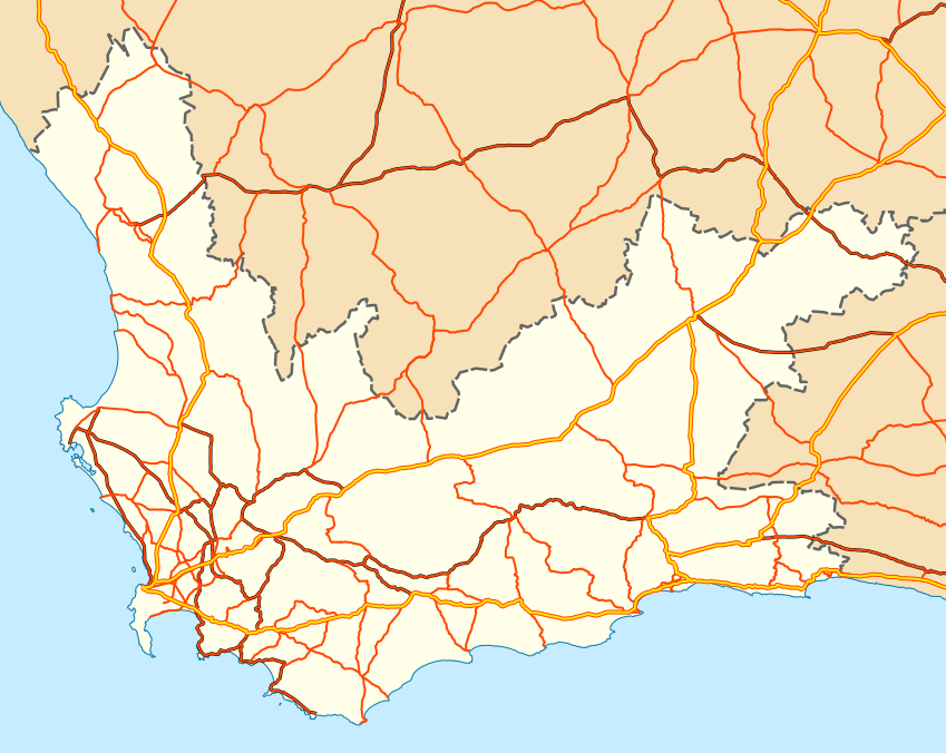
English: Map of the Western Cape with national roads, major regional roads and minor regional roads. |
| Date | |
| Source | Geodata from OpenStreetMap |
| Author | Adrian Frith; OpenStreetMap contributors |
| Permission (Reusing this file) |
This file is licensed under the Creative Commons Attribution-Share Alike 2.0 Generic license.
|
| Other versions | File:Road map of the Western Cape with towns.svg |
File history
Click on a date/time to view the file as it appeared at that time.
| Date/Time | Thumbnail | Dimensions | User | Comment | |
|---|---|---|---|---|---|
| current | 20:10, 16 June 2011 | | 849 × 676 (634 KB) | commons>Htonl | {{Information |Description ={{en|1=Map of the w:Western Cape with national roads, major regional roads and minor regional roads.}} |Source =Geodata from OpenStreetMap |Author =Adrian Frith; Op |
File usage
There are no pages that use this file.