File:River Road north of Port Lambton, 1910s.png
Jump to navigation
Jump to search

Size of this preview: 800 × 493 pixels. Other resolutions: 320 × 197 pixels | 640 × 394 pixels | 1,024 × 630 pixels | 1,280 × 788 pixels | 2,126 × 1,309 pixels.
Original file (2,126 × 1,309 pixels, file size: 3.76 MB, MIME type: image/png)
File history
Click on a date/time to view the file as it appeared at that time.
| Date/Time | Thumbnail | Dimensions | User | Comment | |
|---|---|---|---|---|---|
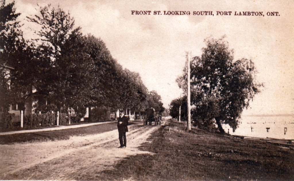
| current | 04:18, 3 March 2021 | | 2,126 × 1,309 (3.76 MB) | commons>Floydian | == Summary == {{Information | description = The River Road, today as the St. Clair Parkway, north of Port Lambton, Ontario in the 1910s. | source = http://stclairtownship.ca/port-lambton-post-cards/ | date = 1910s | author = unknown | permission = {{PD-Canada}} | other_versions = | additional_information = }} {{keep local}} |
File usage
There are no pages that use this file.