File:Rio Negro Argentina map.png
Jump to navigation
Jump to search

Size of this preview: 758 × 599 pixels. Other resolutions: 304 × 240 pixels | 607 × 480 pixels | 971 × 768 pixels | 1,200 × 949 pixels.
Original file (1,200 × 949 pixels, file size: 1.42 MB, MIME type: image/png)
File history
Click on a date/time to view the file as it appeared at that time.
| Date/Time | Thumbnail | Dimensions | User | Comment | |
|---|---|---|---|---|---|
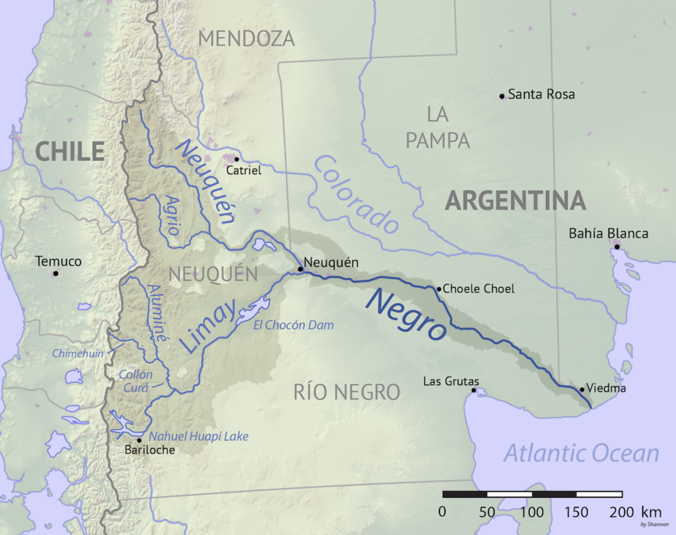
| current | 02:14, 28 January 2018 | | 1,200 × 949 (1.42 MB) | commons>Shannon1 | {{Information |Description ={{en|1=Map of the Rio Negro drainage basin, southern Argentina. Made using public domain Natural Earth and USGS data.}} |Source =Own work |Author =Shannon1 |Date =2018-01-27 |Pe... |
File usage
There are no pages that use this file.