File:Richmond Gulf.png
Jump to navigation
Jump to search
Size of this preview: 756 × 600 pixels. Other resolutions: 303 × 240 pixels | 605 × 480 pixels | 968 × 768 pixels | 1,163 × 923 pixels.
Original file (1,163 × 923 pixels, file size: 2.03 MB, MIME type: image/png)
File history
Click on a date/time to view the file as it appeared at that time.
| Date/Time | Thumbnail | Dimensions | User | Comment | |
|---|---|---|---|---|---|
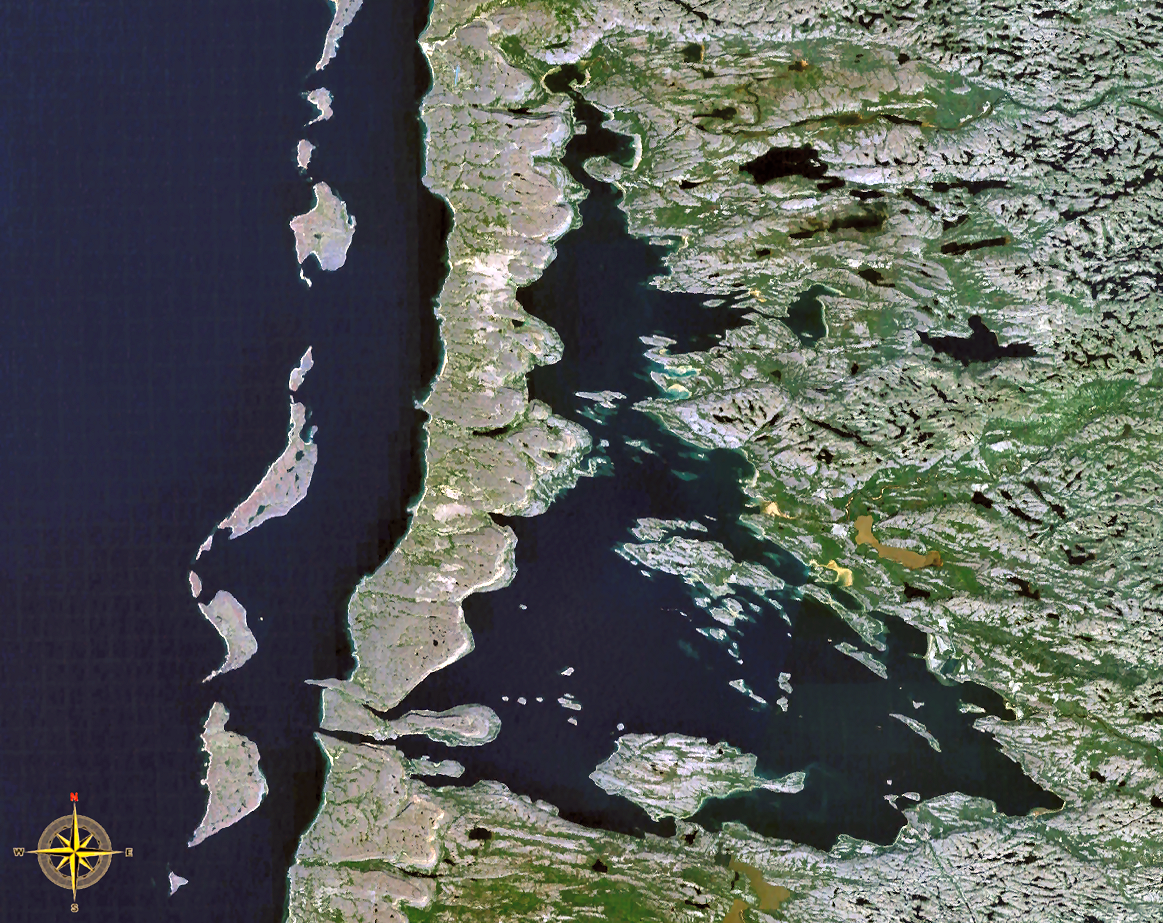
| current | 17:50, 23 January 2009 | | 1,163 × 923 (2.03 MB) | commons>P199 | {{Information |Description=Satellite view of Richmond Gulf (Lac Guillaume-Delisle), northern Quebec, Canada. |Source=NASA World Wind |Date= |Author=NASA |Permission= |other_versions= }} {{PD-WorldWind}} Category:Geography of Quebec |
File usage
There are no pages that use this file.