File:Relief map of Texas.png
Jump to navigation
Jump to search
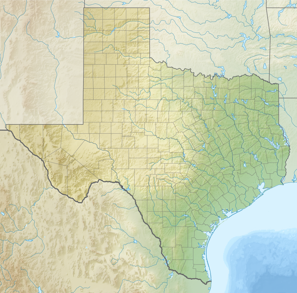
Size of this preview: 606 × 599 pixels. Other resolutions: 243 × 240 pixels | 485 × 480 pixels | 1,000 × 989 pixels.
Original file (1,000 × 989 pixels, file size: 1.28 MB, MIME type: image/png)
Summary
| Description |
Русский: Физическая карта штата Техас (США). English: Relief map of Texas (USA). |
| Date | |
| Source |
|
| Author | Nzeemin |
| Other versions |
<gallery>File:USA Texas location
|
Licensing
I, the copyright holder of this work, hereby publish it under the following license:
This file is licensed under the Creative Commons Attribution-Share Alike 3.0 Unported license.
- You are free:
- to share – to copy, distribute and transmit the work
- to remix – to adapt the work
- Under the following conditions:
- attribution – You must give appropriate credit, provide a link to the license, and indicate if changes were made. You may do so in any reasonable manner, but not in any way that suggests the licensor endorses you or your use.
- share alike – If you remix, transform, or build upon the material, you must distribute your contributions under the same or compatible license as the original.
File history
Click on a date/time to view the file as it appeared at that time.
| Date/Time | Thumbnail | Dimensions | User | Comment | |
|---|---|---|---|---|---|
| current | 13:40, 14 October 2012 | | 1,000 × 989 (1.28 MB) | commons>Nzeemin | User created page with UploadWizard |
File usage
There are no pages that use this file.