File:Rekareka map.jpg
Jump to navigation
Jump to search

Size of this preview: 800 × 583 pixels. Other resolutions: 320 × 233 pixels | 640 × 467 pixels | 1,024 × 747 pixels | 1,240 × 904 pixels.
Original file (1,240 × 904 pixels, file size: 333 KB, MIME type: image/jpeg)
File history
Click on a date/time to view the file as it appeared at that time.
| Date/Time | Thumbnail | Dimensions | User | Comment | |
|---|---|---|---|---|---|
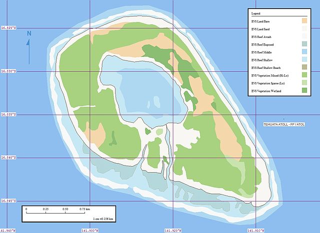
| current | 12:03, 15 June 2008 | | 1,240 × 904 (333 KB) | commons>Vriullop | {{Information |Description= {{ca|Mapa de l'atol Rekareka o Tehuata (arxipèlag Tuamotu, Polinèsia Francesa).}} {{en|Map of Rekareka or Tehuata (Tuamotu Archipelago, French Polynesia).}} |Source=[http://www.flickr.com/photos/60042877@N00/302581117/ Tehua |
File usage
There are no pages that use this file.