File:Pukarua Map.jpg
Jump to navigation
Jump to search

Size of this preview: 800 × 583 pixels. Other resolutions: 320 × 233 pixels | 640 × 467 pixels | 1,024 × 747 pixels | 1,240 × 904 pixels.
Original file (1,240 × 904 pixels, file size: 295 KB, MIME type: image/jpeg)
File history
Click on a date/time to view the file as it appeared at that time.
| Date/Time | Thumbnail | Dimensions | User | Comment | |
|---|---|---|---|---|---|
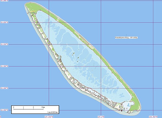
| current | 12:00, 2 February 2009 | | 1,240 × 904 (295 KB) | commons>Telim tor | == Information == {{Information |Description=Map of Pukarua Atoll, Tuamotu Archipelago, French Polynesia |Source=[http://www.flickr.com/photos/evsmap/283337843/in/set-72157594351432958/ Flickr] |Date=29 October 2006 |Author={{#if:60042877@N00|[http://flic |
File usage
There are no pages that use this file.