File:Ptolemy's Map of Taprobane.jpg
Jump to navigation
Jump to search
Size of this preview: 632 × 599 pixels. Other resolutions: 253 × 240 pixels | 506 × 480 pixels | 641 × 608 pixels.
Original file (641 × 608 pixels, file size: 86 KB, MIME type: image/jpeg)
File history
Click on a date/time to view the file as it appeared at that time.
| Date/Time | Thumbnail | Dimensions | User | Comment | |
|---|---|---|---|---|---|
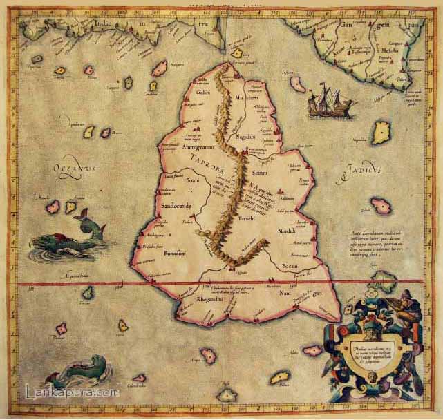
| current | 17:22, 20 August 2011 | | 641 × 608 (86 KB) | commons>Astronomyinertia | {{Information |Description ={{en|1=Claudius Ptolemy's 1st century map of Taprobane (Sri Lanka).}} |Source =http://www.contourline.lk/en/history.php |Author =Claudius Ptolemy |Date =1st century AD |Permission = |other_versi |
File usage
There are no pages that use this file.