File:Poole Borough Council election 2011 map.svg
Jump to navigation
Jump to search

Size of this PNG preview of this SVG file: 596 × 600 pixels. Other resolutions: 238 × 240 pixels | 477 × 480 pixels | 763 × 768 pixels | 1,017 × 1,024 pixels | 2,035 × 2,048 pixels | 1,218 × 1,226 pixels.
Original file (SVG file, nominally 1,218 × 1,226 pixels, file size: 330 KB)
File history
Click on a date/time to view the file as it appeared at that time.
| Date/Time | Thumbnail | Dimensions | User | Comment | |
|---|---|---|---|---|---|
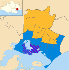
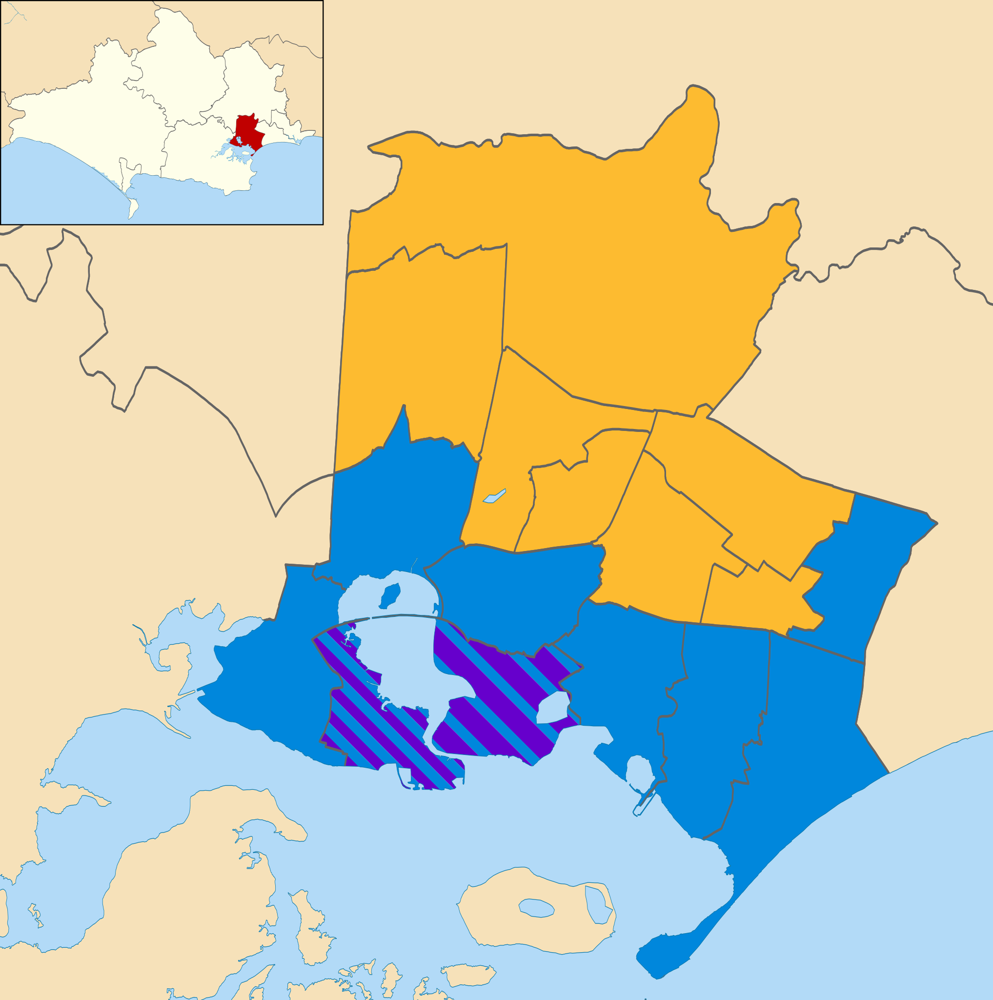
| current | 23:28, 18 May 2011 | | 1,218 × 1,226 (330 KB) | commons>Nilfanion | {{Information |Description=Map of Poole, Dorset, UK showing the results of the 2011 local election. Colours: {{legend|#0087dc|Conservative}} {{legend|#fdbb30|Labour}} {{legend|#6600cc|Poole People}} Striped wards have mixed representation. |Source=[[w:O |
File usage
There are no pages that use this file.