File:Political Map of South Africa drawn 1897 reprint 1899.jpg
Jump to navigation
Jump to search
No higher resolution available.
Political_Map_of_South_Africa_drawn_1897_reprint_1899.jpg (650 × 565 pixels, file size: 63 KB, MIME type: image/jpeg)
File history
Click on a date/time to view the file as it appeared at that time.
| Date/Time | Thumbnail | Dimensions | User | Comment | |
|---|---|---|---|---|---|
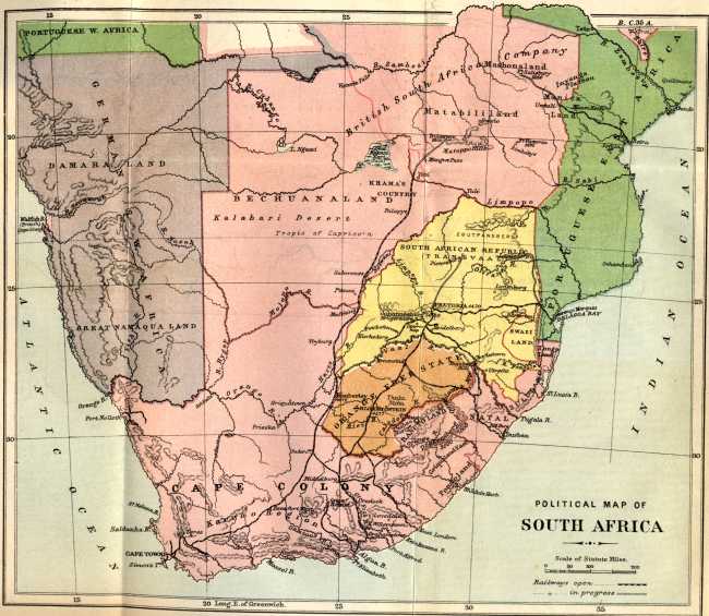
| current | 00:25, 25 March 2023 | | 650 × 565 (63 KB) | commons>PineappleDolly | Uploaded a work by Sir Donald Currie and Messrs. A.S. and G.G. Brown from https://www.gutenberg.org/cache/epub/22323/pg22323-images.html Project Gutenberg Book IMPRESSIONS OF SOUTH AFRICA BY JAMES BRYCE 1899 (reprint) where the author records permission to use the map prepared by Sir Donald Currie and Messrs. A.S. and G.G. Brown and previously printed in "Guide to South Africa" (published by the Castle Mail Packets Company) with UploadWizard |
File usage
There are no pages that use this file.