File:Plán Lhasy.jpg
Jump to navigation
Jump to search

Size of this preview: 800 × 587 pixels. Other resolutions: 320 × 235 pixels | 640 × 470 pixels | 1,039 × 763 pixels.
Original file (1,039 × 763 pixels, file size: 222 KB, MIME type: image/jpeg)
File history
Click on a date/time to view the file as it appeared at that time.
| Date/Time | Thumbnail | Dimensions | User | Comment | |
|---|---|---|---|---|---|
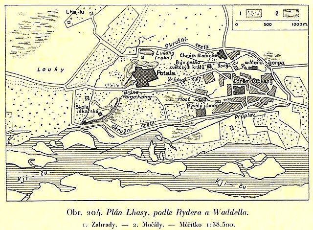
| current | 19:09, 24 September 2008 | | 1,039 × 763 (222 KB) | commons>Geographus | {{Information |Description= Map of Lhasa in the beginning of 20th century. The descriptions are in Czech. |Source= Book Zeměpis světa, díl osmý, Přední Asie a Vysoká Asie. Published by publishing house Aventinum in Prague. |Date= 1932 |Author= Un |
File usage
There are no pages that use this file.