File:Perm Governorate map.jpg
Jump to navigation
Jump to search

Size of this preview: 485 × 600 pixels. Other resolutions: 194 × 240 pixels | 388 × 480 pixels | 621 × 768 pixels | 828 × 1,024 pixels | 2,000 × 2,473 pixels.
Original file (2,000 × 2,473 pixels, file size: 1.58 MB, MIME type: image/jpeg)
File history
Click on a date/time to view the file as it appeared at that time.
| Date/Time | Thumbnail | Dimensions | User | Comment | |
|---|---|---|---|---|---|
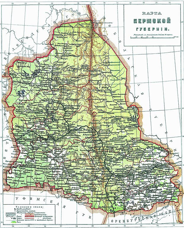
| current | 04:18, 7 September 2006 | | 2,000 × 2,473 (1.58 MB) | commons>D V S | == Description == *ru:Карта Пермской губернiи. Масштабъ въ Англ. дюймѣ 80 верстъ. *en:Perm Governorate map. == Source == *ru: Энциклопедический словарь Брокгауза и Еврон� |
File usage
There are no pages that use this file.