File:Pentagon road network map 1945.jpg
Jump to navigation
Jump to search

Size of this preview: 470 × 599 pixels. Other resolutions: 188 × 240 pixels | 377 × 480 pixels | 1,020 × 1,300 pixels.
Original file (1,020 × 1,300 pixels, file size: 535 KB, MIME type: image/jpeg)
File history
Click on a date/time to view the file as it appeared at that time.
| Date/Time | Thumbnail | Dimensions | User | Comment | |
|---|---|---|---|---|---|
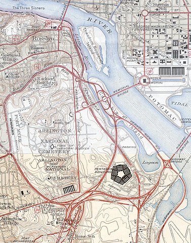
| current | 19:31, 21 January 2006 | | 1,020 × 1,300 (535 KB) | commons>SPUI~commonswiki | {{PD-USGov-USGS}} USGS topos covering the area around the Pentagon in Virginia, soon after the road network was built. Note that the Shirley Highway near the southwest edge of the map was added later, as it opened in 1943. *North half: [http://historical. |
File usage
There are no pages that use this file.