File:Pendleton OR - OpenStreetMap.png
Jump to navigation
Jump to search

Size of this preview: 800 × 552 pixels. Other resolutions: 320 × 221 pixels | 640 × 442 pixels | 955 × 659 pixels.
Original file (955 × 659 pixels, file size: 276 KB, MIME type: image/png)
File history
Click on a date/time to view the file as it appeared at that time.
| Date/Time | Thumbnail | Dimensions | User | Comment | |
|---|---|---|---|---|---|
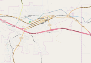
| current | 11:48, 15 April 2016 | | 955 × 659 (276 KB) | commons>Tagishsimon | {{OpenStreetMap | name = Pendleton_OR | location = Pendleton_OR | description = Map of Pendleton Oregon. | top = 45.6857 | bottom = 45.6390 | left = -118.8323 | right = -118.7353 | date... |
File usage
There are no pages that use this file.