File:Penang south Kedah heightmap ASTGTM2 N05E100 dem.png
Jump to navigation
Jump to search

Size of this preview: 600 × 600 pixels. Other resolutions: 240 × 240 pixels | 480 × 480 pixels | 768 × 768 pixels | 1,024 × 1,024 pixels | 2,048 × 2,048 pixels | 3,601 × 3,601 pixels.
Original file (3,601 × 3,601 pixels, file size: 8.41 MB, MIME type: image/png)
File history
Click on a date/time to view the file as it appeared at that time.
| Date/Time | Thumbnail | Dimensions | User | Comment | |
|---|---|---|---|---|---|
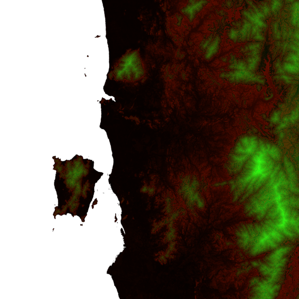
| current | 18:59, 29 October 2013 | | 3,601 × 3,601 (8.41 MB) | commons>Cmglee | {{Information |Description ={{en|1=A heightmap of Penang state and the southern part of Kedah with contour discontinuities every 100 m, plotted from ASTER Global Digital Elevation Model data at http://gdem.ersdac.jspacesystems.or.jp/download.jsp and... |
File usage
There are no pages that use this file.