File:POLSKA mapa woj z powiatami.png
Jump to navigation
Jump to search
Size of this preview: 646 × 600 pixels. Other resolutions: 259 × 240 pixels | 517 × 480 pixels | 1,021 × 948 pixels.
Original file (1,021 × 948 pixels, file size: 467 KB, MIME type: image/png)
File history
Click on a date/time to view the file as it appeared at that time.
| Date/Time | Thumbnail | Dimensions | User | Comment | |
|---|---|---|---|---|---|
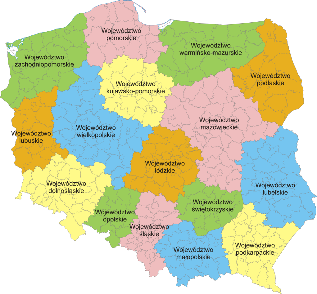
| current | 20:37, 5 February 2007 | | 1,021 × 948 (467 KB) | commons>Aotearoa | Mapa administracyjna Polski z zaznaczonymi granicami województw i powiatów, stan na 1 stycznia 2007. Autor: Aotearoa<br> Administrative map of Poland with borders of województwa (voivodships) and powiaty (counties), as of January 1, 2 |
File usage
There are no pages that use this file.