File:P06-UT-positiekaart2-gemlabels.png
Jump to navigation
Jump to search
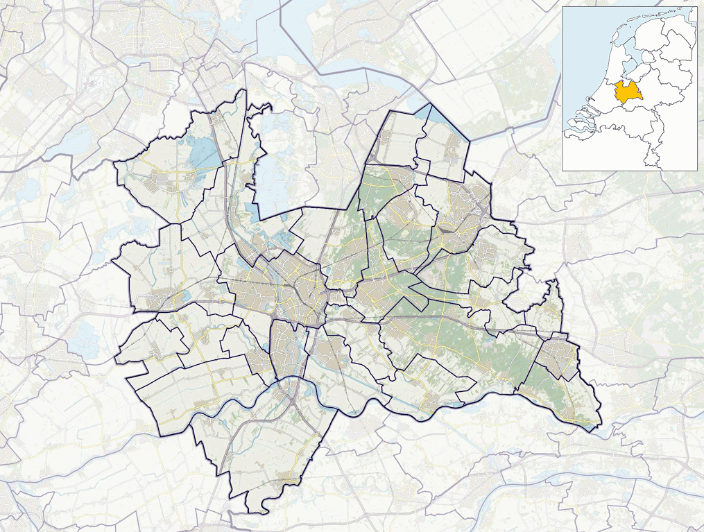
Size of this preview: 794 × 600 pixels. Other resolutions: 318 × 240 pixels | 635 × 480 pixels | 1,015 × 767 pixels.
Original file (1,015 × 767 pixels, file size: 586 KB, MIME type: image/png)
File history
Click on a date/time to view the file as it appeared at that time.
| Date/Time | Thumbnail | Dimensions | User | Comment | |
|---|---|---|---|---|---|
| current | 09:40, 19 January 2019 | | 1,015 × 767 (586 KB) | commons>Janwillemvanaalst | Update due to adjusted province border Utrecht - Zuid-Holland as per 2019. |
File usage
There are no pages that use this file.