File:OxoboxoRiverCDP.gif
Jump to navigation
Jump to search
No higher resolution available.
OxoboxoRiverCDP.gif (575 × 425 pixels, file size: 54 KB, MIME type: image/gif)
File history
Click on a date/time to view the file as it appeared at that time.
| Date/Time | Thumbnail | Dimensions | User | Comment | |
|---|---|---|---|---|---|
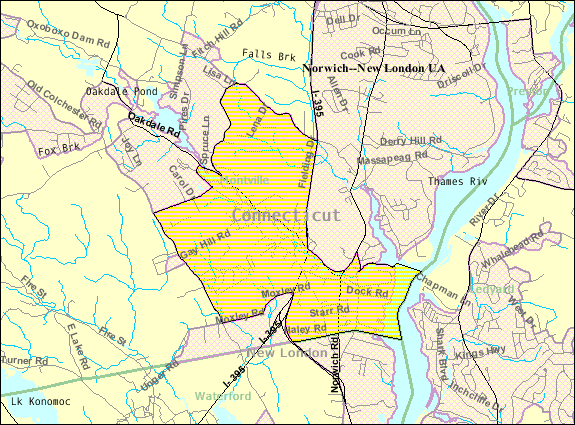
| current | 13:14, 9 June 2011 | | 575 × 425 (54 KB) | commons>Orlady | {{Information |Description ={{en|1=Census Bureau TIGER map of the Oxoboxo River Census-Designated Place (CDP) in Montville, Connecticut.}} |Source =http://factfinder.census.gov/servlet/MapItDrawServlet?geo_id=16000US0958520&_bucket_id=49&tree_i |
File usage
There are no pages that use this file.