File:Oak Park Heights Orthoimagery.PNG
Jump to navigation
Jump to search
No higher resolution available.
Oak_Park_Heights_Orthoimagery.PNG (800 × 600 pixels, file size: 845 KB, MIME type: image/png)
Summary
| Camera location | | View this and other nearby images on: OpenStreetMap |
|---|
| Description |
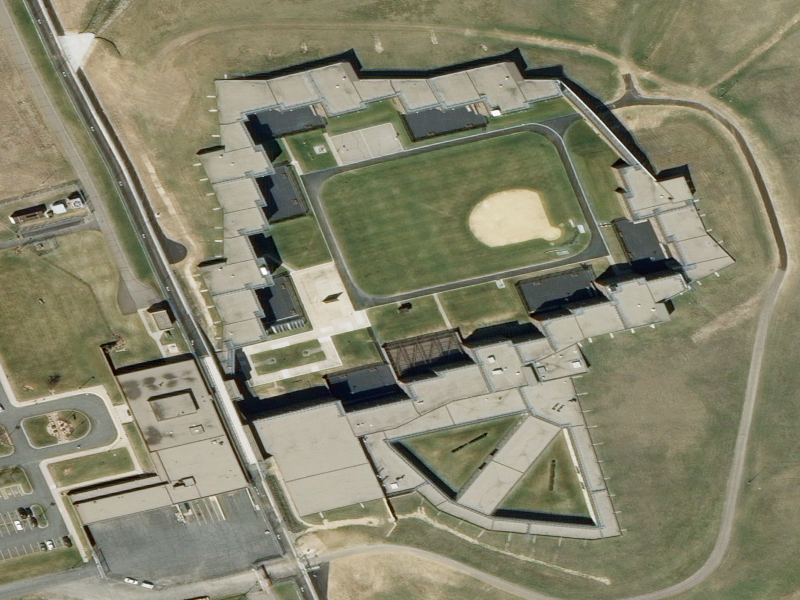
English: Aerial view of Minnesota Correctional Facility - Oak Park Heights |
| Date | |
| Source | National Map Seamless Server high-res orthoimagery |
| Author | United States Geological Survey |
Licensing
This image is in the public domain in the United States because it only contains materials that originally came from the United States Geological Survey, an agency of the United States Department of the Interior. For more information, see the official USGS copyright policy.
|
File history
Click on a date/time to view the file as it appeared at that time.
| Date/Time | Thumbnail | Dimensions | User | Comment | |
|---|---|---|---|---|---|
| current | 15:37, 15 June 2013 | | 800 × 600 (845 KB) | commons>Hohum | Levels |
File usage
There are no pages that use this file.