File:OHMap-doton-Gomer.png
Jump to navigation
Jump to search
No higher resolution available.
OHMap-doton-Gomer.png (309 × 352 pixels, file size: 17 KB, MIME type: image/png)
File history
Click on a date/time to view the file as it appeared at that time.
| Date/Time | Thumbnail | Dimensions | User | Comment | |
|---|---|---|---|---|---|
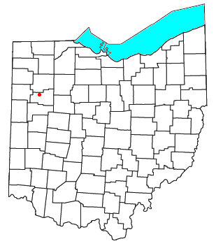
| current | 14:57, 5 October 2007 | | 309 × 352 (17 KB) | commons>Nyttend | {{Information |Description=Locator map of the {{w|unincorporated area|unincorporated community}} of {{w|Gomer, Ohio|Gomer}} in {{w|Allen County, Ohio|Allen County}}, {{w|Ohio}}, {{w|United States}}. |Source=Modified from [http://www2.census.gov/geo/maps/g |
File usage
There are no pages that use this file.