File:Norway Troms og Finnmark adm location map.svg
Jump to navigation
Jump to search

Size of this PNG preview of this SVG file: 800 × 440 pixels. Other resolutions: 320 × 176 pixels | 640 × 352 pixels | 1,024 × 563 pixels | 1,280 × 704 pixels | 2,560 × 1,408 pixels | 998 × 549 pixels.
Original file (SVG file, nominally 998 × 549 pixels, file size: 361 KB)
File history
Click on a date/time to view the file as it appeared at that time.
| Date/Time | Thumbnail | Dimensions | User | Comment | |
|---|---|---|---|---|---|
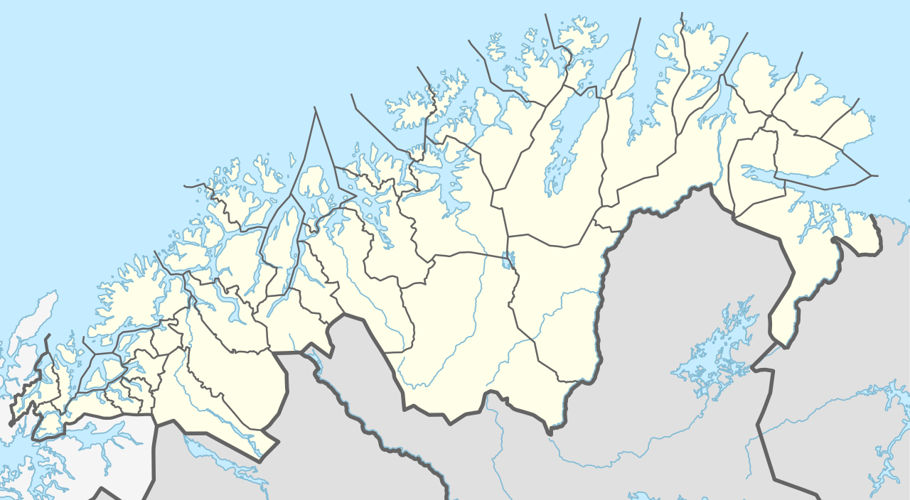
| current | 15:00, 9 August 2019 | | 998 × 549 (361 KB) | commons>NordNordWest | == {{int:filedesc}} == {{Information |Description= {{de|1=Positionskarte von Troms og Finnmark, Norwegen}} {{en|1=Location map of Troms og Finnmark, Norway}} {{Location map series N (conic)|top=71.3|longitude=23.25|latitude1=70.25|latitude2=69.25|bottom=68.15}} |Source={{Own using}} United States National Imagery and Mapping Agency data |Date=2019-08-09 |Author={{U|NordNordWest}} |Permission= |other_versions= }} {{Kartenwerkstatt}} == {{int:license-header}} == {{User:NordNordWest/LicenceMap}... |
File usage
There are no pages that use this file.