File:North West Leicestershire UK locator map.svg
Jump to navigation
Jump to search

Size of this PNG preview of this SVG file: 761 × 600 pixels. Other resolutions: 305 × 240 pixels | 609 × 480 pixels | 975 × 768 pixels | 1,280 × 1,009 pixels | 2,560 × 2,017 pixels | 1,425 × 1,123 pixels.
Original file (SVG file, nominally 1,425 × 1,123 pixels, file size: 1,021 KB)
File history
Click on a date/time to view the file as it appeared at that time.
| Date/Time | Thumbnail | Dimensions | User | Comment | |
|---|---|---|---|---|---|
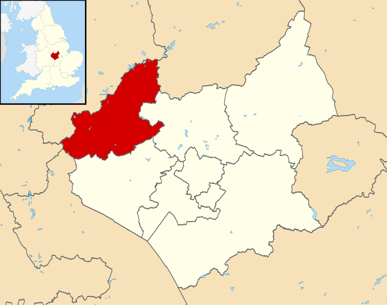
| current | 21:53, 13 August 2011 | | 1,425 × 1,123 (1,021 KB) | commons>Nilfanion | {{Information |Description=Map of Leicestershire, UK with North West Leicestershire highlighted. Equirectangular map projection on WGS 84 datum, with N/S stretched 160% |Source=[[w:Ordnance Survey|Ordn |
File usage
There are no pages that use this file.