File:Nome Beach map.PNG
Jump to navigation
Jump to search
No higher resolution available.
Nome_Beach_map.PNG (703 × 576 pixels, file size: 183 KB, MIME type: image/png)
File history
Click on a date/time to view the file as it appeared at that time.
| Date/Time | Thumbnail | Dimensions | User | Comment | |
|---|---|---|---|---|---|
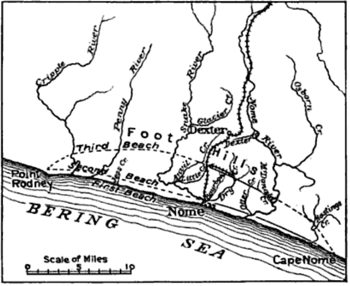
| current | 15:53, 6 December 2009 | | 703 × 576 (183 KB) | commons>Dankarl | {{Information |Description={{en|1=Sketch map of Nome, Alaska region showing the first, second and third beach lines, also creeks and railroad}} |Source=Through the Yukon and Alaska, Mining and Scientific Press p343 [http://books.google.com/books?id=lPIMA |
File usage
There are no pages that use this file.