File:New serbia location map.png
Jump to navigation
Jump to search
Size of this preview: 800 × 447 pixels. Other resolutions: 320 × 179 pixels | 640 × 358 pixels | 1,024 × 573 pixels | 1,280 × 716 pixels | 1,872 × 1,047 pixels.
Original file (1,872 × 1,047 pixels, file size: 63 KB, MIME type: image/png)
File history
Click on a date/time to view the file as it appeared at that time.
| Date/Time | Thumbnail | Dimensions | User | Comment | |
|---|---|---|---|---|---|
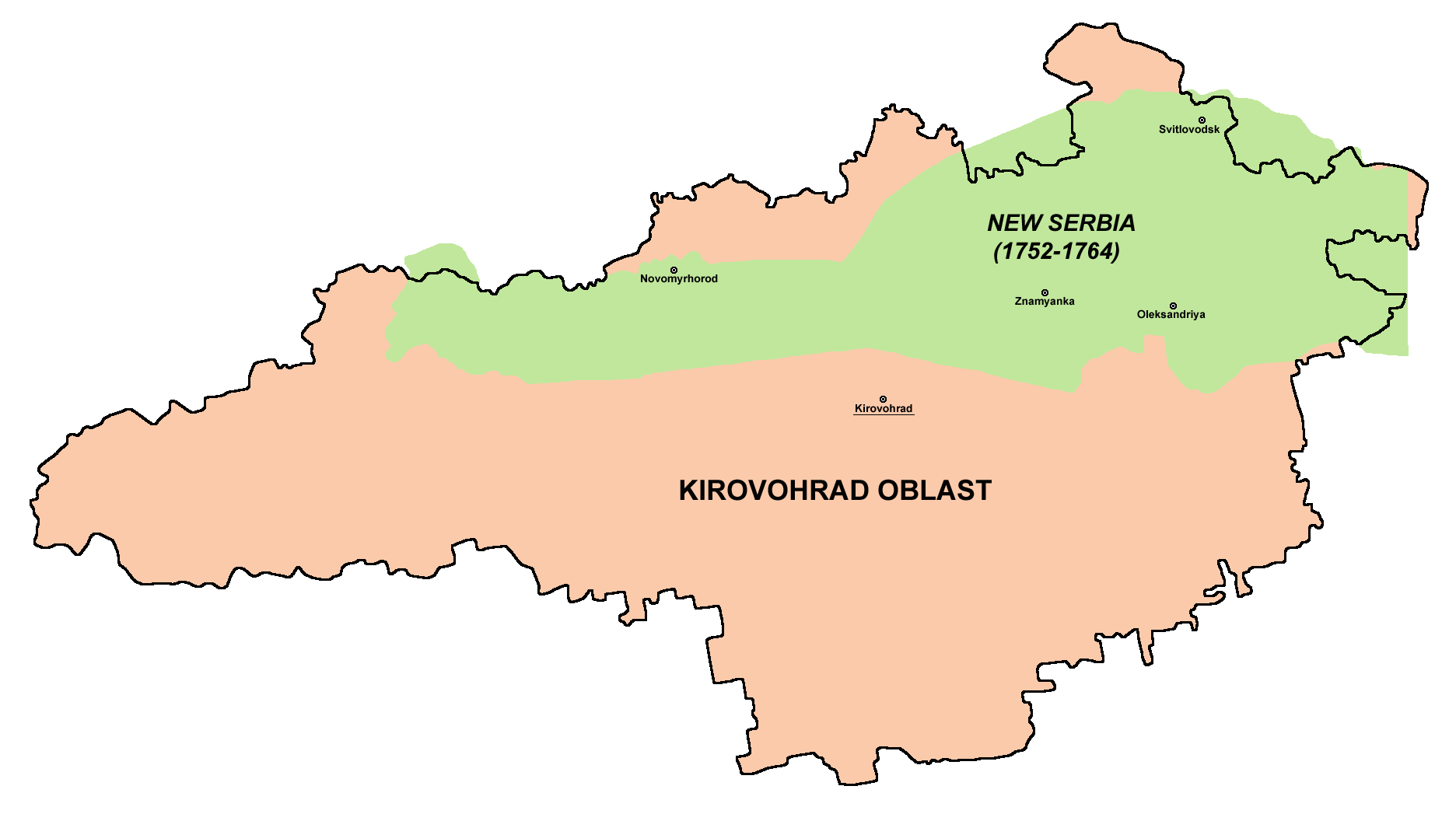
| current | 18:54, 2 May 2010 | | 1,872 × 1,047 (63 KB) | commons>PANONIAN | {{Information |Description={{en|1=Borders of historical New Serbia (1752-1764) compared with borders of modern Kirovohrad Oblast of Ukraine. }} |Source={{own}} |Author=PANONIAN |Date= |Permission= |other_versions= }} |
File usage
There are no pages that use this file.