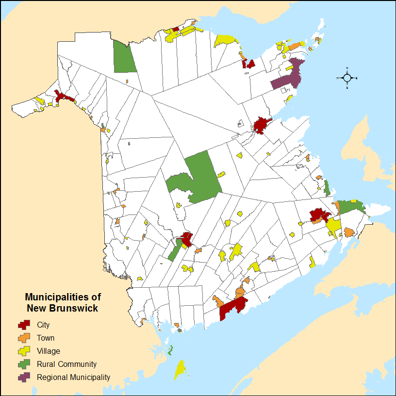
File:New Brunswick municipalities.png
Jump to navigation
Jump to search
Size of this preview: 600 × 600 pixels. Other resolutions: 240 × 240 pixels | 480 × 480 pixels | 816 × 816 pixels.
Original file (816 × 816 pixels, file size: 47 KB, MIME type: image/png)
File history
Click on a date/time to view the file as it appeared at that time.
| Date/Time | Thumbnail | Dimensions | User | Comment | |
|---|---|---|---|---|---|
| current | 02:50, 22 November 2016 | | 816 × 816 (47 KB) | commons>Hwy43 | reflect the full geography of the Rural Community of Kedgwick and the expansions of the villages of Atholville and Eel River Crossing. |
File usage
There are no pages that use this file.