File:Nantucket Shoals NOAA chart 12300.gif
Jump to navigation
Jump to search
Size of this preview: 612 × 599 pixels. Other resolutions: 245 × 240 pixels | 490 × 480 pixels | 762 × 746 pixels.
Original file (762 × 746 pixels, file size: 46 KB, MIME type: image/gif)
File history
Click on a date/time to view the file as it appeared at that time.
| Date/Time | Thumbnail | Dimensions | User | Comment | |
|---|---|---|---|---|---|
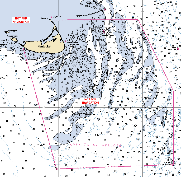
| current | 22:31, 18 April 2010 | | 762 × 746 (46 KB) | commons>Diiscool | {{Information |Description={{en|1=Detail of NOAA chart 12300 showing area of Nantucket Shoals. Edited by Diiscool for use on Commons.}} |Source=http://nauticalcharts.noaa.gov |Author=[[National Oceanic and |
File usage
There are no pages that use this file.