File:Nanatsu-jima island north.JPG
Jump to navigation
Jump to search
Size of this preview: 799 × 600 pixels. Other resolutions: 320 × 240 pixels | 640 × 480 pixels | 1,024 × 768 pixels | 1,280 × 961 pixels | 2,617 × 1,964 pixels.
Original file (2,617 × 1,964 pixels, file size: 2.12 MB, MIME type: image/jpeg)
Summary
| Description |
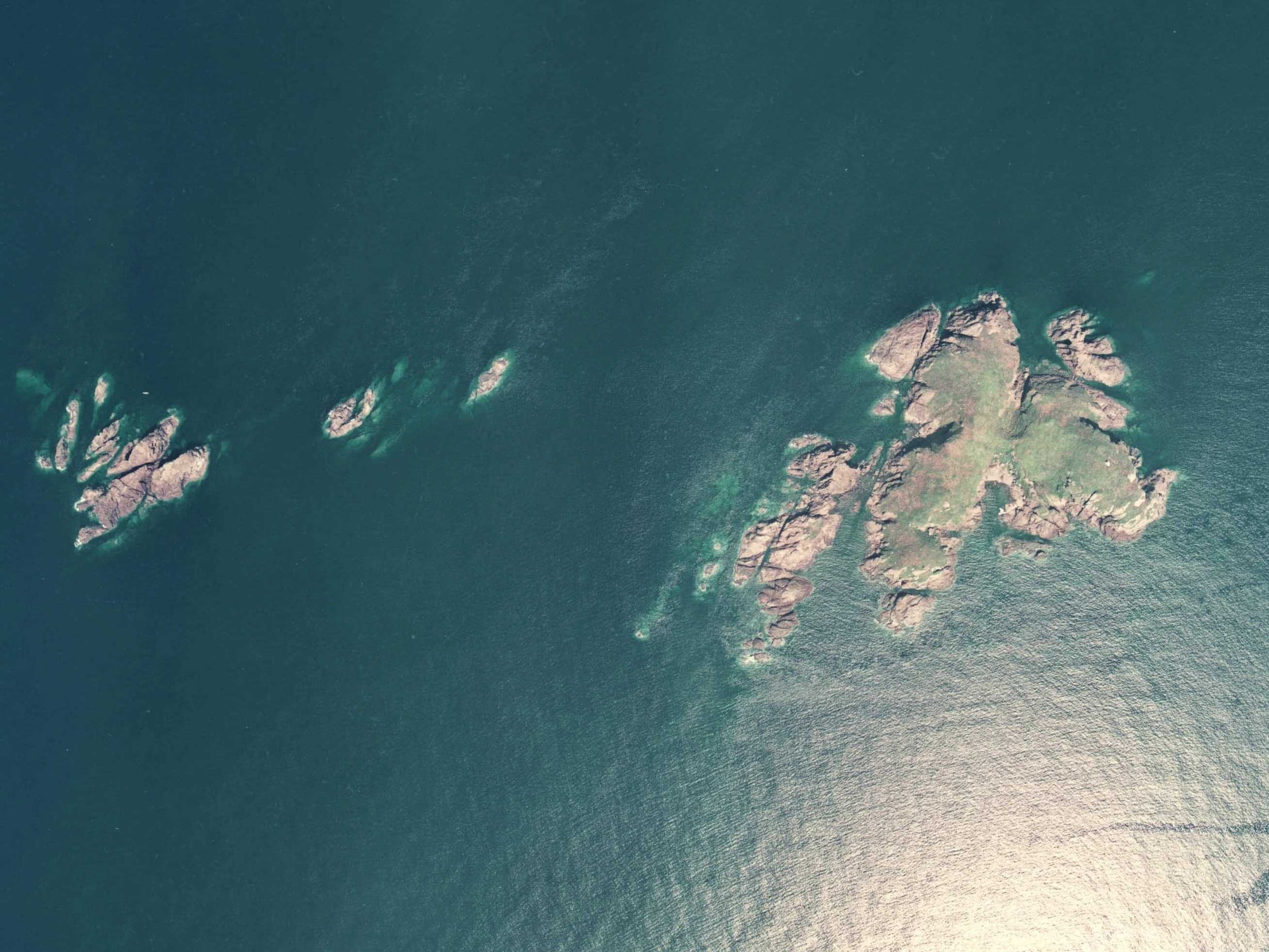
日本語: 輪島市の沖、七ツ島北部(右(東)側から、大島、狩又島、竜島)の空中写真。Ccb-75-18_c43_3を使用。 |
| Date | |
| Source | 国土情報ウェブマッピングシステム |
| Author | 国土交通省 |
Licensing

|
The copyright holder of this file, the Ministry of Land, Infrastructure, Transport and Tourism of Japan, allows anyone to use it for any purpose, provided that the copyright holder is properly attributed. Redistribution, derivative work, commercial use, and all other use is permitted. |
Attribution:
Copyright © National Land Image Information (Color Aerial Photographs), Ministry of Land, Infrastructure, Transport and Tourism
|
 |
This image is copyrighted by the Ministry of Land, Infrastructure, Transport and Tourism of Japan. For terms of use, see the stipulation to use of National Land Information (in Japanese) and message from MLIT (in Japanese and English). When you display this image on an article, include the following phrase in the description: "Made based on National Land Image Information (Color Aerial Photographs), Ministry of Land, Infrastructure, Transport and Tourism".
|
File history
Click on a date/time to view the file as it appeared at that time.
| Date/Time | Thumbnail | Dimensions | User | Comment | |
|---|---|---|---|---|---|
| current | 05:19, 8 December 2010 | | 2,617 × 1,964 (2.12 MB) | commons>さかおり | {{Information |Description={{ja|1=輪島市の沖、七ツ島北部(右(東)側から、大島、狩又島、竜島)の空中写真。Ccb-75-18_c43_3を使用。}}}} |Source=国土情報ウェブマッピングシステム |Author=国土 |
File usage
There are no pages that use this file.