File:NASA Worldwind, USGS imagery map, Atlas Tract, California.png
Jump to navigation
Jump to search

Size of this preview: 600 × 600 pixels. Other resolutions: 240 × 240 pixels | 480 × 480 pixels | 768 × 768 pixels | 1,024 × 1,024 pixels | 1,600 × 1,600 pixels.
Original file (1,600 × 1,600 pixels, file size: 2.04 MB, MIME type: image/png)
File history
Click on a date/time to view the file as it appeared at that time.
| Date/Time | Thumbnail | Dimensions | User | Comment | |
|---|---|---|---|---|---|
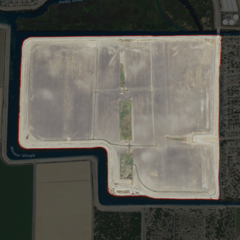
| current | 14:01, 24 February 2021 | | 1,600 × 1,600 (2.04 MB) | commons>JPxG | == {{int:filedesc}} == {{Information |Description=USGS aerial imagery of an island in the w:Sacramento-San Joaquin River Delta. |Source=NASA tool at worldwind.earth, USGS Topo Imagery map layer |Date= |Author=USGS, self |Permission={{PD-USGov-USGS}} |other_versions= }} Category:Islands of California Category:Sacramento–San Joaquin River Delta Category:Aerial photographs of river deltas Category:Aerial photographs of California |
File usage
There are no pages that use this file.