File:Mulyanka River location.png
Jump to navigation
Jump to search

Size of this preview: 737 × 600 pixels. Other resolutions: 295 × 240 pixels | 590 × 480 pixels | 944 × 768 pixels | 1,259 × 1,024 pixels | 1,475 × 1,200 pixels.
Original file (1,475 × 1,200 pixels, file size: 1.79 MB, MIME type: image/png)
File history
Click on a date/time to view the file as it appeared at that time.
| Date/Time | Thumbnail | Dimensions | User | Comment | |
|---|---|---|---|---|---|
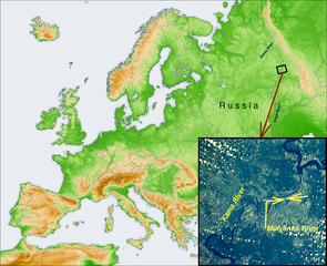
| current | 17:18, 14 December 2006 | | 1,475 × 1,200 (1.79 MB) | commons>D V S | Based on: * "Image:Europe topography map.png" by User:San_Jose; * "Image:Kama River 1989.jpg" by NASA. |
File usage
There are no pages that use this file.