File:Mount Athos location map.svg
Jump to navigation
Jump to search

Size of this PNG preview of this SVG file: 572 × 600 pixels. Other resolutions: 229 × 240 pixels | 458 × 480 pixels | 732 × 768 pixels | 977 × 1,024 pixels | 1,953 × 2,048 pixels | 2,366 × 2,481 pixels.
Original file (SVG file, nominally 2,366 × 2,481 pixels, file size: 59 KB)
File history
Click on a date/time to view the file as it appeared at that time.
| Date/Time | Thumbnail | Dimensions | User | Comment | |
|---|---|---|---|---|---|
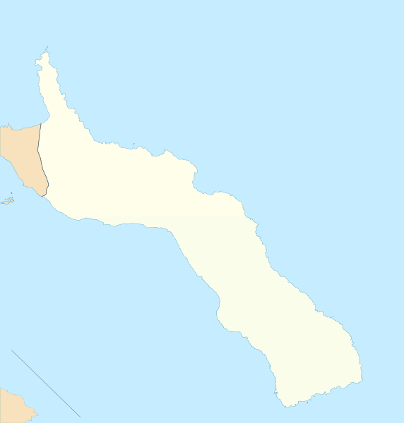
| current | 13:23, 4 November 2010 | | 2,366 × 2,481 (59 KB) | commons>Xfigpower | {{Information |Description={{en|1=Location map of Mount Athos}} Equirectangular projection. Geographic limits of the map: * N: 40.50° N * S: 40.10° N * W: 23.95° E * E: 24.45° E }} |Source=http://www.openstreetmap.or |
File usage
There are no pages that use this file.