File:Motegi in Tochigi Prefecture Ja.svg
Jump to navigation
Jump to search

Size of this PNG preview of this SVG file: 460 × 560 pixels. Other resolutions: 197 × 240 pixels | 394 × 480 pixels | 631 × 768 pixels | 841 × 1,024 pixels | 1,682 × 2,048 pixels.
Original file (SVG file, nominally 460 × 560 pixels, file size: 22 KB)
Summary
| Description |
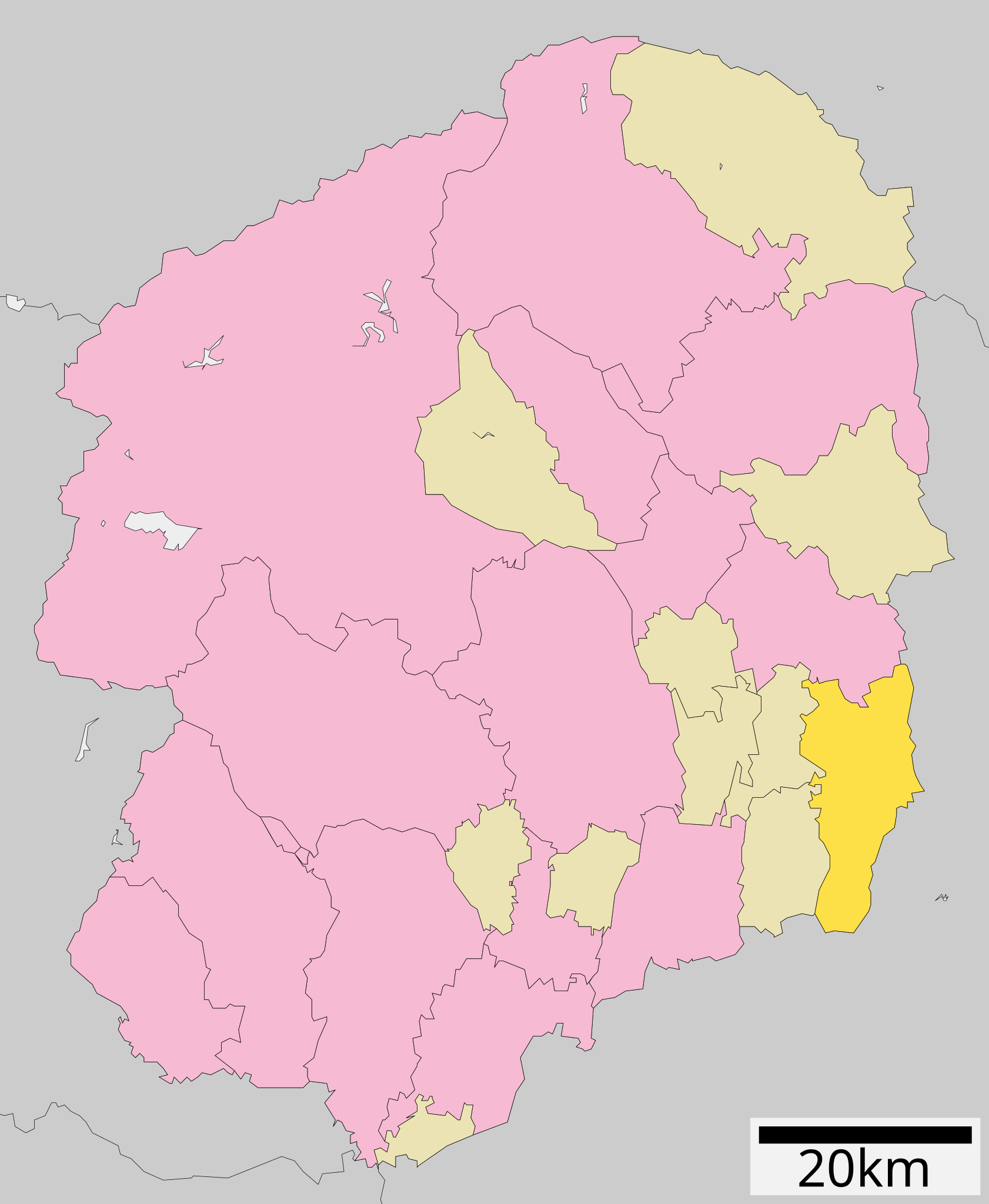
日本語: 概要 栃木県茂木町位置図
English: Location of Motegi in Tochigi Prefecture |
||
| Date | 26 September 2007 (original upload date) | ||
| Source | Transferred from ja.wikipedia to Commons. | ||
| Author | The original uploader was Lincun at Japanese Wikipedia. | ||
| Permission (Reusing this file) |
|
Licensing

|
Permission is granted to copy, distribute and/or modify this document under the terms of the GNU Free Documentation License, Version 1.2 or any later version published by the Free Software Foundation; with no Invariant Sections, no Front-Cover Texts, and no Back-Cover Texts. A copy of the license is included in the section entitled GNU Free Documentation License. |
This file is licensed under the Creative Commons Attribution-Share Alike 3.0 Unported license.
- You are free:
- to share – to copy, distribute and transmit the work
- to remix – to adapt the work
- Under the following conditions:
- attribution – You must give appropriate credit, provide a link to the license, and indicate if changes were made. You may do so in any reasonable manner, but not in any way that suggests the licensor endorses you or your use.
- share alike – If you remix, transform, or build upon the material, you must distribute your contributions under the same or compatible license as the original.
Original upload log
The original description page was here. All following user names refer to ja.wikipedia.
- 2007-09-26 11:52 Lincun 530×712×0 (14818 bytes) {{基礎自治体位置図画像情報|栃木県|茂木町}}
| This file was moved from Japanese Wikipedia.
See below for original file information. | ||||||||||||||||||||||||||||||||||||||||||||||||||||
| ||||||||||||||||||||||||||||||||||||||||||||||||||||
|
| ||||||||||||||||||||||||||||||||||||||||||||||||||||
File history
Click on a date/time to view the file as it appeared at that time.
| Date/Time | Thumbnail | Dimensions | User | Comment | |
|---|---|---|---|---|---|
| current | 11:03, 5 September 2021 | | 460 × 560 (22 KB) | commons>MGA73 | Reverted to version as of 18:33, 17 August 2021 (UTC) |
File usage
There are no pages that use this file.