File:Mosby'sConf.Map.jpg
Jump to navigation
Jump to search
Size of this preview: 652 × 599 pixels. Other resolutions: 261 × 240 pixels | 522 × 480 pixels | 836 × 768 pixels | 1,221 × 1,122 pixels.
Original file (1,221 × 1,122 pixels, file size: 1.22 MB, MIME type: image/jpeg)
File history
Click on a date/time to view the file as it appeared at that time.
| Date/Time | Thumbnail | Dimensions | User | Comment | |
|---|---|---|---|---|---|
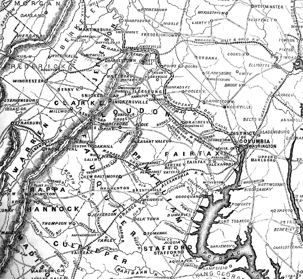
| current | 17:23, 30 March 2010 | | 1,221 × 1,122 (1.22 MB) | commons>ElijahBosley | {{Information |Description=Map of Mosby's Confederacy printed in 1867, showing contemporary place names |Source= Major John Scott, Partisan Life with Col. John S. Mosby (New York: Harper & Bros. Publishers, 1867) |Date=1867 |Author=Harper & Bros. Publishe |
File usage
There are no pages that use this file.