File:Mitiaro Island map.jpg
Jump to navigation
Jump to search
Size of this preview: 800 × 582 pixels. Other resolutions: 320 × 233 pixels | 640 × 466 pixels | 1,024 × 745 pixels | 1,240 × 902 pixels.
Original file (1,240 × 902 pixels, file size: 200 KB, MIME type: image/jpeg)
File history
Click on a date/time to view the file as it appeared at that time.
| Date/Time | Thumbnail | Dimensions | User | Comment | |
|---|---|---|---|---|---|
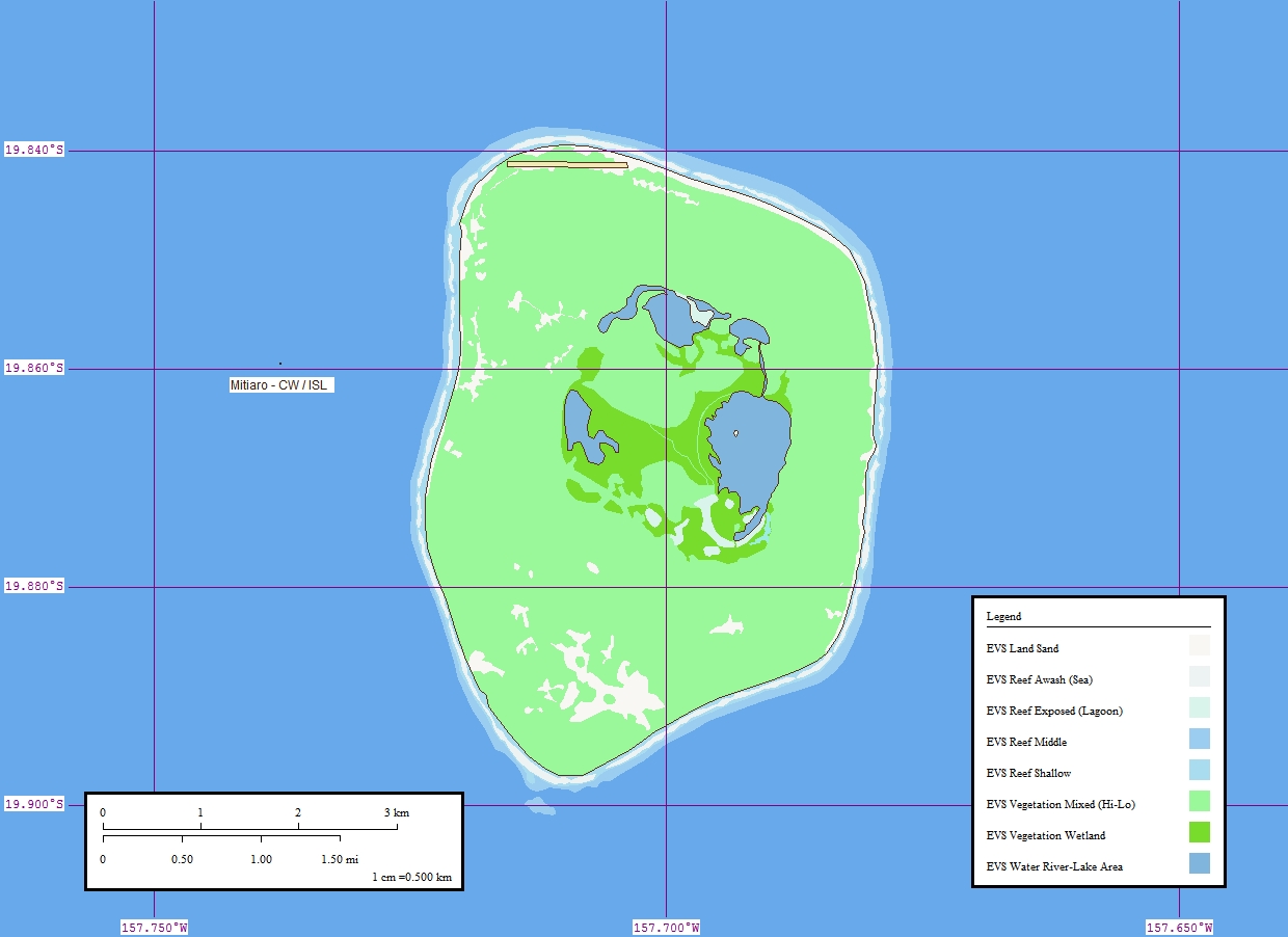
| current | 19:20, 14 October 2006 | | 1,240 × 902 (200 KB) | commons>Vriullop | {{Information |Description=Map of Mitiaro Island, Cook Islands |Source=[http://www.flickr.com/photos/evsmap/125987540/ Flickr] |Date=9 April 2006 |Author=[http://www.flickr.com/photos/evsmap/ EVS-Islands] |Permission={{cc-by-2.0}} |other_versions= }} [[C |
File usage
There are no pages that use this file.