File:MilfordCtAreaOutlineMap.png
Jump to navigation
Jump to search
No higher resolution available.
MilfordCtAreaOutlineMap.png (359 × 481 pixels, file size: 13 KB, MIME type: image/png)
File history
Click on a date/time to view the file as it appeared at that time.
| Date/Time | Thumbnail | Dimensions | User | Comment | |
|---|---|---|---|---|---|
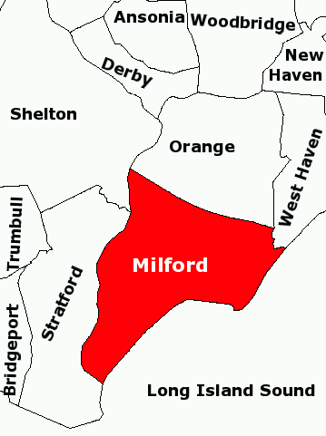
| current | 17:25, 24 August 2007 | | 359 × 481 (13 KB) | commons>Karlhahn | {{Information |Description=Subject: Map of Townships neighboring Milford, Ct, with Milford highlighted. Derived from sub-county SVG map of Connecticut at [http://libremap.org/data/boundary/ Libre Map Project] using Adobe SVG viewer and Gimp 2.2.1.3 |Sour |
File usage
There are no pages that use this file.