File:Middle America relief location map.png
Jump to navigation
Jump to search
Size of this preview: 800 × 538 pixels. Other resolutions: 320 × 215 pixels | 640 × 430 pixels | 1,024 × 688 pixels | 1,280 × 860 pixels | 2,000 × 1,344 pixels.
Original file (2,000 × 1,344 pixels, file size: 3.56 MB, MIME type: image/png)
File history
Click on a date/time to view the file as it appeared at that time.
| Date/Time | Thumbnail | Dimensions | User | Comment | |
|---|---|---|---|---|---|
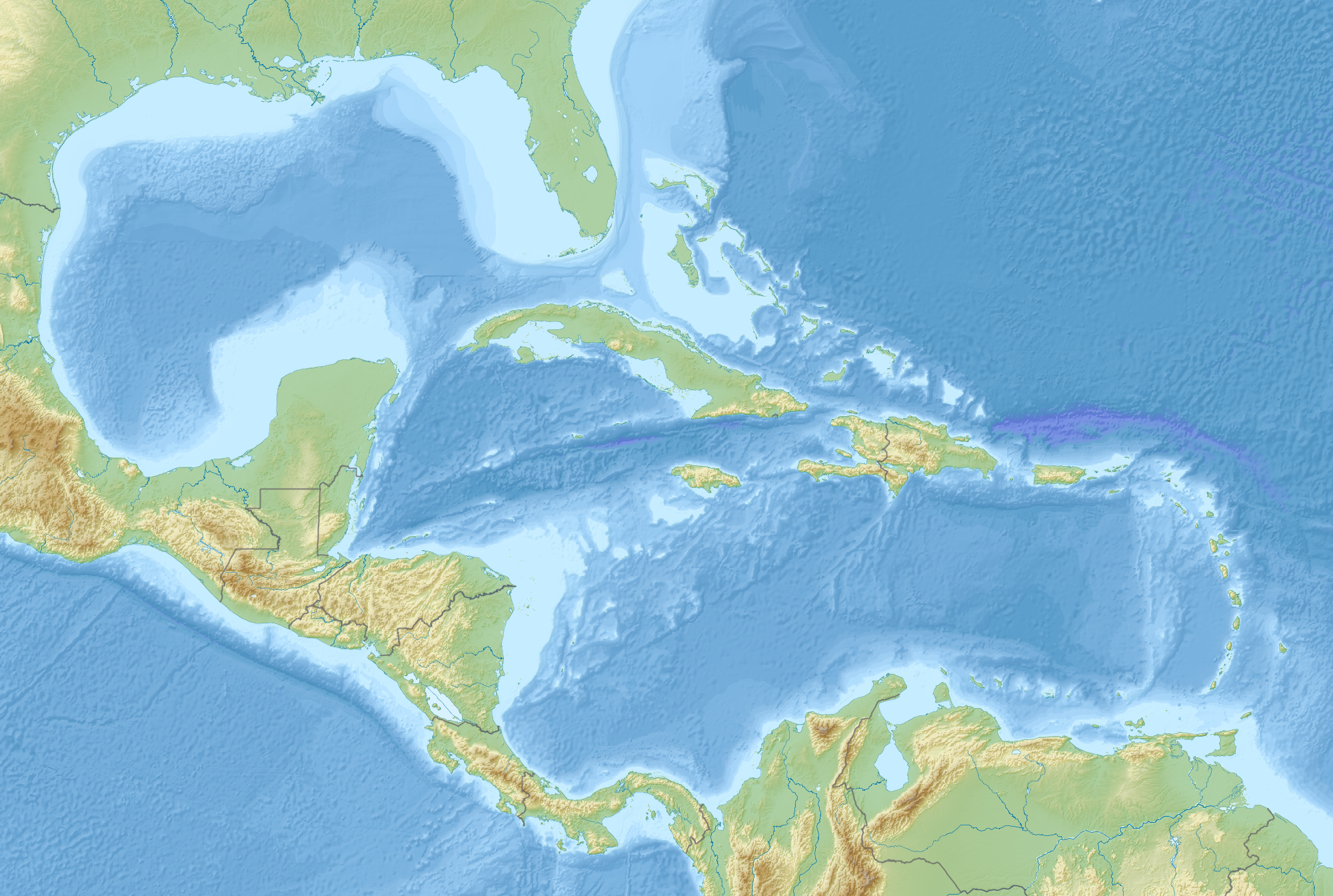
| current | 09:14, 19 August 2010 | | 2,000 × 1,344 (3.56 MB) | commons>Uwe Dedering | {{Information |Description={{en|1=Map of Middle America, including the Gulf of Mexico and the Carribean Sea. Equirectangular projection. Strechted by 106.0%. Geographic limits of the map: * N: 32.0° N * S: 6.0° N * W: 99.0° W * E: 58.0° W Relief: [ |
File usage
There are no pages that use this file.