File:Mexico Oaxaca San Carlos Yautepec location map.svg
Jump to navigation
Jump to search

Size of this PNG preview of this SVG file: 800 × 526 pixels. Other resolutions: 320 × 211 pixels | 640 × 421 pixels | 1,024 × 674 pixels | 1,280 × 842 pixels | 2,560 × 1,684 pixels | 3,812 × 2,508 pixels.
Original file (SVG file, nominally 3,812 × 2,508 pixels, file size: 1.92 MB)
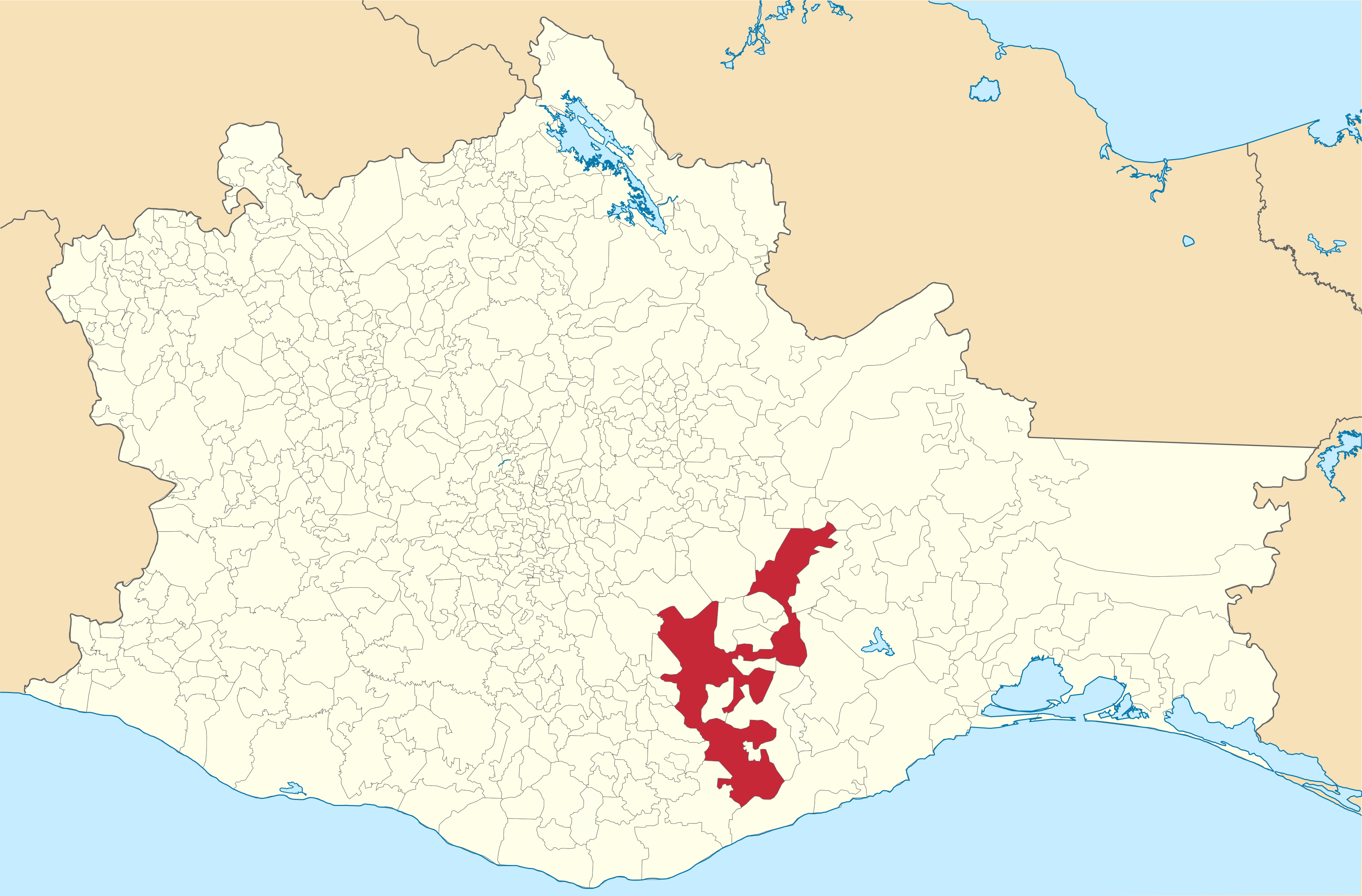
| Description | Mapa de localización del municipio de San Carlos Yautepec, Oaxaca, México | ||
| Date | |||
| Source |
Own work This W3C-unspecified vector image was created with Inkscape . |
||
| Author | Battroid | ||
| Permission (Reusing this file) |
|
File history
Click on a date/time to view the file as it appeared at that time.
| Date/Time | Thumbnail | Dimensions | User | Comment | |
|---|---|---|---|---|---|
| current | 06:23, 2 February 2018 | | 3,812 × 2,508 (1.92 MB) | commons>Battroid |
File usage
There are no pages that use this file.