File:Metropolitan Perth.svg
Jump to navigation
Jump to search

Size of this PNG preview of this SVG file: 430 × 600 pixels. Other resolutions: 172 × 240 pixels | 344 × 480 pixels | 550 × 768 pixels | 734 × 1,024 pixels | 1,468 × 2,048 pixels | 516 × 720 pixels.
Original file (SVG file, nominally 516 × 720 pixels, file size: 697 KB)
Summary
| Description |
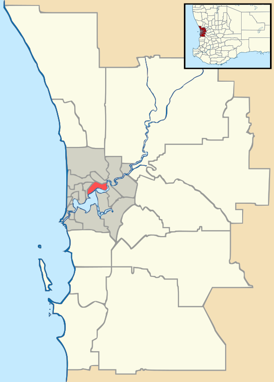
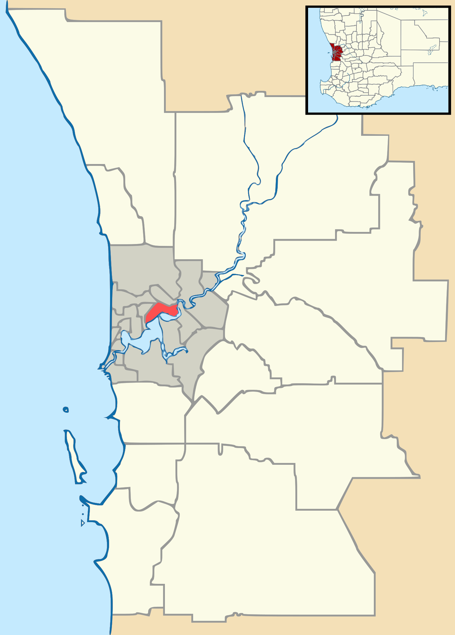
English: Vector map of Perth, Western Australia's metropolitan area, with Local Government Area boundaries. Derived from Gordon Edwards' metropolitan LGA maps. Inset WA map adapted from NordNordWest's WA location map. |
| Date | |
| Source | GordonE, NordNordWest |
| Author | Outrune |
Licensing
This file is licensed under the Creative Commons Attribution-Share Alike 2.5 Generic license.
- You are free:
- to share – to copy, distribute and transmit the work
- to remix – to adapt the work
- Under the following conditions:
- attribution – You must give appropriate credit, provide a link to the license, and indicate if changes were made. You may do so in any reasonable manner, but not in any way that suggests the licensor endorses you or your use.
- share alike – If you remix, transform, or build upon the material, you must distribute your contributions under the same or compatible license as the original.
File history
Click on a date/time to view the file as it appeared at that time.
| Date/Time | Thumbnail | Dimensions | User | Comment | |
|---|---|---|---|---|---|
| current | 10:13, 9 November 2011 | | 516 × 720 (697 KB) | commons>Outrune | Reverted to version as of 06:27, 4 October 2011 |
File usage
There are no pages that use this file.