File:Meteorological US surface map 20061012.gif
Jump to navigation
Jump to search

Size of this preview: 800 × 576 pixels. Other resolutions: 320 × 230 pixels | 640 × 461 pixels | 1,024 × 737 pixels | 1,088 × 783 pixels.
Original file (1,088 × 783 pixels, file size: 71 KB, MIME type: image/gif)
File history
Click on a date/time to view the file as it appeared at that time.
| Date/Time | Thumbnail | Dimensions | User | Comment | |
|---|---|---|---|---|---|
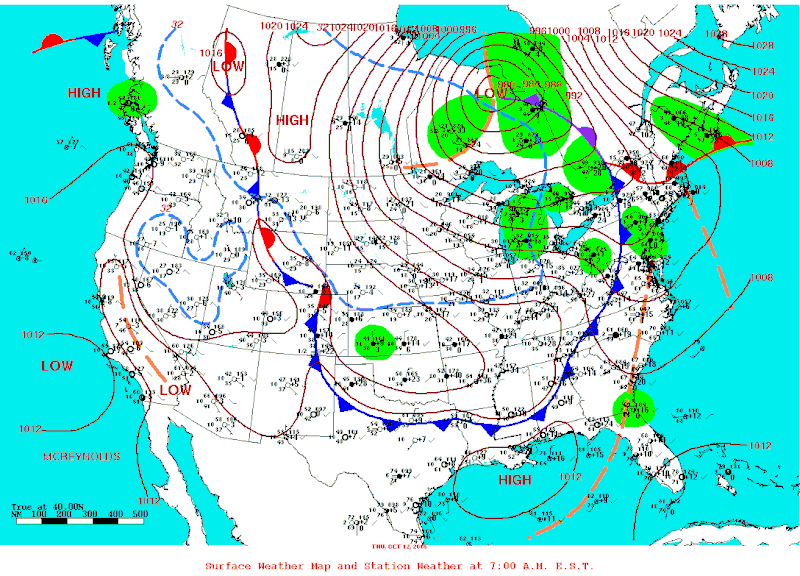
| current | 23:34, 24 November 2007 | | 1,088 × 783 (71 KB) | commons>Pierre cb | {{Information |Description=Department of Commerce National Weather Service surface Map for the 12th of October 2006 showing the cold air dome invading the southern Great Lakes and causing a Lake Effect Snow Storm that left up to 60 cm of snow in a nar |
File usage
There are no pages that use this file.